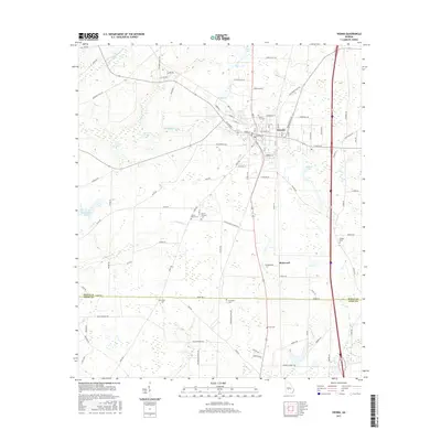
2017 Map of Vienna
USGS Topo · Published 2017About this map
Vienna serves as the focal point of this Dooly County landscape, where the street grid of the town center transitions into a network of rural roads and agricultural plots. The area is defined by the winding course of Pennahatchee Cr and its tributaries, including Little Pennahatchee Cr and Sandy Mount Cr. For those researching local families, the map is a vital resource for locating rural burials, identifying several small family or church yards such as Mount Bezor Cem, Smith Cem, and Fenn Cem scattered across the countryside. To the south, the settlement of Richwood sits near the border of Dooly and Crisp counties. The map also documents natural water sources like Davis Spring and New Leonard Spring, which have historically influenced settlement patterns in this part of Georgia.
Find a feature on this map
101 named features on this map. Tap any name to fly to it.
Don’t see what you’re looking for? This feature index may not catch every label — zoom into the map to look around manually.
Map Details
Editions of this 2017 Vienna Map
This is the sole edition of this map. No revisions or reprints were ever made.
Other maps of this area

1953 · Waycross
USGS Topo · 1:250,000

1957 · Macon
USGS Topo · 1:250,000

1958 · Macon
USGS Topo · 1:250,000

1958 · Waycross
USGS Topo · 1:250,000

1964 · Macon
USGS Topo · 1:250,000

1971 · Pineview NW
USGS Topo · 1:24,000

1971 · Pineview SW
USGS Topo · 1:24,000

1971 · Pinehurst
USGS Topo · 1:24,000

1972 · Byromville
USGS Topo · 1:24,000

1972 · Drayton
USGS Topo · 1:24,000