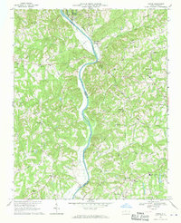
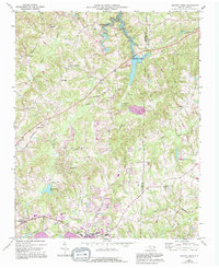
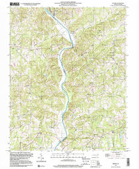
1968 Map of Vienna
USGS Topo · Published 1970This historical map portrays the area of Vienna in 1968, primarily covering Forsyth County as well as portions of Yadkin County and Surry County. Featuring a scale of 1:24000, this map provides a highly detailed snapshot of the terrain, roads, buildings, counties, and historical landmarks in the Vienna region at the time. Published in 1970, it is one of 2 known editions of this map due to revisions or reprints.
Find a feature on this map
64 named features on this map. Tap any name to fly to it.
Don’t see what you’re looking for? This feature index may not catch every label — zoom into the map to look around manually.
Map Details
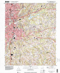
Editions of this 1968 Vienna Map
2 editions found
Historical Maps of Oak Park Through Time
13 maps found
1950 Winston-Salem East
Forsyth County, NC
1950 Winston-Salem West
Forsyth County, NC

1951 Winston-Salem East
Forsyth County, NC

1951 Winston-Salem West
Forsyth County, NC
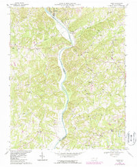
1968 Vienna
Forsyth County, NC
1969 Belews Creek
Forsyth County, NC
1977 Belews Creek
Forsyth County, NC
1977 Winston-Salem East
Forsyth County, NC
1977 Winston-Salem West
Forsyth County, NC
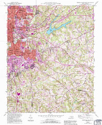
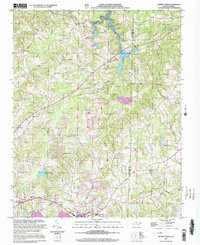
1997 Vienna
Forsyth County, NC
1997 Winston-Salem East
Forsyth County, NC
1997 Winston-Salem West
Forsyth County, NC
2000 Belews Creek
Forsyth County, NC