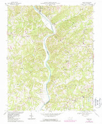
1968 Map of Vienna
USGS Topo · Published 1987About this map
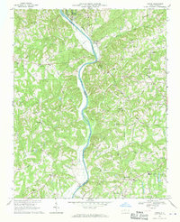
The Yadkin River defines the landscape of this 1968 survey, carving a path that separates Yadkin and Surry counties from Forsyth. The terrain is marked by a dense concentration of rural community anchors, particularly churches such as True Gospel Ch, Center Grove Ch, and Tabernacle Ch scattered among the ridges. Local industry and transportation are evident in the Southern railroad line and the site of Martin Ferry at the river's edge.
Find a feature on this map
67 named features on this map. Tap any name to fly to it.
Don’t see what you’re looking for? This feature index may not catch every label — zoom into the map to look around manually.
Map Details
Editions of this 1968 Vienna Map
2 editions found
Other maps of this area

1891 · Yadkinville
USGS Topo · 1:125,000

1893 · Yadkinville
USGS Topo · 1:125,000

1950 · Winston-Salem West
USGS Topo · 1:24,000

1951 · Winston-Salem West
USGS Topo · 1:24,000

1951 · Rural Hall
USGS Topo · 1:24,000

1953 · Winston-Salem
USGS Topo · 1:250,000

1955 · Winston-Salem
USGS Topo · 1:250,000

1962 · Winston-Salem
USGS Topo · 1:250,000

1964 · Pinnacle
USGS Topo · 1:24,000

1964 · King
USGS Topo · 1:24,000