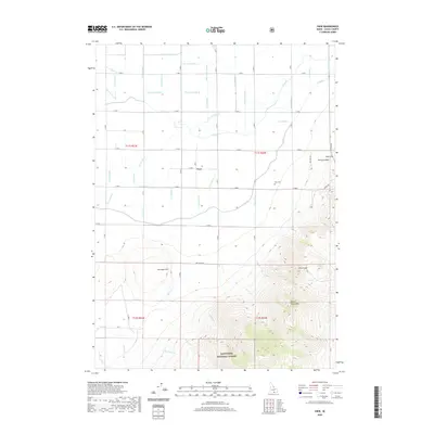
2020 Map of View
USGS Topo · Published 2020About this map
The small settlement of View serves as the focal point for this agrarian landscape in southern Idaho, where a complex network of irrigation ditches dictates the pattern of local life. These waterworks, including the H Canal and J Canal along with numerous laterals like H 14 Lateral and J 20 Lateral, demonstrate the engineered environment necessary for high-desert farming. Near the town site, the View Cem provides a point of interest for genealogists tracking early families of this district.
Find a feature on this map
58 named features on this map. Tap any name to fly to it.
Don’t see what you’re looking for? This feature index may not catch every label — zoom into the map to look around manually.
Map Details
Editions of this 2020 View Map
This is the sole edition of this map. No revisions or reprints were ever made.
Other maps of this area

1954 · Pocatello
USGS Topo · 1:250,000

1958 · Pocatello
USGS Topo · 1:250,000

1964 · Rupert SE
USGS Topo · 1:24,000

1964 · View
USGS Topo · 1:24,000

1964 · Kenyon
USGS Topo · 1:24,000

1964 · Rupert SW
USGS Topo · 1:24,000

1964 · Burley SE
USGS Topo · 1:24,000

1968 · Marion SE
USGS Topo · 1:24,000

1968 · Mount Harrison
USGS Topo · 1:24,000

1968 · Albion
USGS Topo · 1:24,000