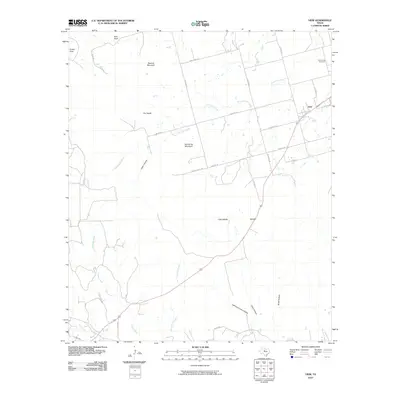
2010 Map of View
USGS Topo · Published 2010About this map
The Callahan Divide defines the dramatic topography of this Central Texas landscape, creating a series of prominent peaks and mesas that overlook the surrounding plains. Notable elevations like Castle Peak, East Peak, and Buzzard Mountain rise above the drainage basins of Little Elm Creek and Cedar Creek. In the northeast corner, the small community of View sits along a network of roads that transition from the valley floor to the upland plateaus. For those researching local history or genealogy, the Drummond Cemetery serves as a grounded link to the area's early residents.
Find a feature on this map
30 named features on this map. Tap any name to fly to it.
Don’t see what you’re looking for? This feature index may not catch every label — zoom into the map to look around manually.
Map Details
Editions of this 2010 View Map
This is the sole edition of this map. No revisions or reprints were ever made.
Other maps of this area

1890 · Abilene
USGS Topo · 1:125,000

1892 · Abilene
USGS Topo · 1:125,000

1893 · Sweetwater
USGS Topo · 1:125,000

1954 · Big Spring
USGS Topo · 1:250,000

1954 · Abilene
USGS Topo · 1:250,000

1957 · Merkel
USGS Topo · 1:62,500

1957 · Abilene West
USGS Topo · 1:24,000

1957 · Buffalo Gap
USGS Topo · 1:62,500

1958 · Big Spring
USGS Topo · 1:250,000

1958 · Abilene
USGS Topo · 1:250,000