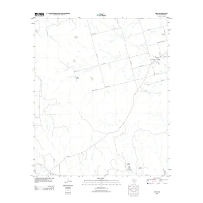
2012 Map of View
USGS Topo · Published 2012About this map
Drummond Cem lies in the northeastern corner of this Taylor County landscape, a key landmark for genealogists and local historians tracing families in this part of Texas. The settlement of View serves as the primary hub, situated near the intersection of several county roads and farm-to-market routes. The terrain is defined by a series of distinct elevations and drainage patterns, including Castle Peak, Buzzard Mtn, and the Cat Heads formations, while water flows through systems like Little Elm Cr and Horse Fall Cr.
Find a feature on this map
45 named features on this map. Tap any name to fly to it.
Don’t see what you’re looking for? This feature index may not catch every label — zoom into the map to look around manually.
Map Details
Editions of this 2012 View Map
This is the sole edition of this map. No revisions or reprints were ever made.
Other maps of this area

1890 · Abilene
USGS Topo · 1:125,000

1892 · Abilene
USGS Topo · 1:125,000

1893 · Sweetwater
USGS Topo · 1:125,000

1954 · Big Spring
USGS Topo · 1:250,000

1954 · Abilene
USGS Topo · 1:250,000

1957 · Merkel
USGS Topo · 1:62,500

1957 · Abilene West
USGS Topo · 1:24,000

1957 · Buffalo Gap
USGS Topo · 1:62,500

1958 · Big Spring
USGS Topo · 1:250,000

1958 · Abilene
USGS Topo · 1:250,000