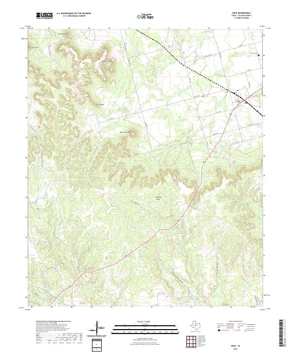
2022 Map of View
USGS Topo · Published 2022About this map
The Callahan Divide forms the prominent geographic spine of this Taylor County landscape, separating the drainage basins of several local creeks. In the northeastern corner, the settlement of View sits at the intersection of Main St and the highway, serving as a focal point for the surrounding ranching and farming lands. The area is defined by its dramatic limestone mesas and peaks, including Buzzard Mtn, Round Top Mtn, and the distinctive Cat Heads.
Find a feature on this map
40 named features on this map. Tap any name to fly to it.
Don’t see what you’re looking for? This feature index may not catch every label — zoom into the map to look around manually.
Map Details
Editions of this 2022 View Map
This is the sole edition of this map. No revisions or reprints were ever made.
Other maps of this area

1890 · Abilene
USGS Topo · 1:125,000

1892 · Abilene
USGS Topo · 1:125,000

1893 · Sweetwater
USGS Topo · 1:125,000

1954 · Big Spring
USGS Topo · 1:250,000

1954 · Abilene
USGS Topo · 1:250,000

1957 · Merkel
USGS Topo · 1:62,500

1957 · Abilene West
USGS Topo · 1:24,000

1957 · Buffalo Gap
USGS Topo · 1:62,500

1958 · Big Spring
USGS Topo · 1:250,000

1958 · Abilene
USGS Topo · 1:250,000