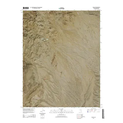
2014 Map of Vigo NE
USGS Topo · Published 2014About this map
Averett Reservoir and Averett Spring sit at the center of this 2014 survey, highlighting the critical importance of water management in the arid Lincoln County landscape. Situated within the Meadow Valley Mountains, the terrain is defined by steep elevation changes and deep natural draws, most notably Vigo Canyon in the southeastern quadrant. The presence of Hidden Spring nearby suggests a localized network of reliable water sources that likely served ranching or early transit needs in this part of Nevada. Navigation through the area is primarily facilitated by Carp Pass Rd, which skirts the eastern edge of the mountains. The map illustrates a strictly delineated public land survey system across Townships 8 and 9 South, showing the grid-like partitioning of this otherwise topographically complex environment.
Find a feature on this map
10 named features on this map. Tap any name to fly to it.
Don’t see what you’re looking for? This feature index may not catch every label — zoom into the map to look around manually.
Map Details
Editions of this 2014 Vigo NE Map
This is the sole edition of this map. No revisions or reprints were ever made.
Other maps of this area

1885 · Pioche
USGS Topo · 1:250,000

1886 · Pioche
USGS Topo · 1:250,000

1954 · Caliente
USGS Topo · 1:250,000

1959 · Caliente
USGS Topo · 1:250,000

1969 · Vigo NW
USGS Topo · 1:24,000

1969 · Elgin
USGS Topo · 1:24,000
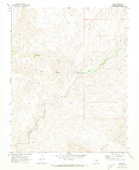
1969 · Vigo
USGS Topo · 1:24,000
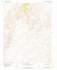
1969 · Sunflower Mtn
USGS Topo · 1:24,000
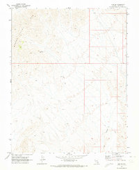
1969 · Vigo NE
USGS Topo · 1:24,000

1969 · Elgin SW
USGS Topo · 1:24,000