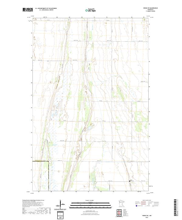
2022 Map of Viking SW
USGS Topo · Published 2022About this map
Black River meanders through this agricultural landscape, crossing the boundary where Pennington Co and Polk Co meet in northwestern Minnesota. The terrain is characterized by expansive lowlands, most notably the Goose Lake Swamp which surrounds the waters of Goose Lake. These features suggest a history of seasonal drainage challenges and a persistent wetland environment that shaped local land use and road placement. For those tracing regional history, the Black River Cem serves as a significant genealogical landmark along Co Rd 66. The presence of the Pembina Trl and Pembina Trl NW highlights the enduring legacy of early transportation routes that preceded the modern grid of county highways and township roads.
Find a feature on this map
27 named features on this map. Tap any name to fly to it.
Don’t see what you’re looking for? This feature index may not catch every label — zoom into the map to look around manually.
Map Details
Editions of this 2022 Viking SW Map
This is the sole edition of this map. No revisions or reprints were ever made.
Other maps of this area

1918 · Angus
USGS Topo · 1:62,500

1918 · Red Lake Falls
USGS Topo · 1:62,500

1918 · Viking
USGS Topo · 1:62,500

1952 · Red Lake Falls
USGS Topo · 1:62,500

1952 · Grand Forks
USGS Topo · 1:250,000

1952 · Thief River Falls
USGS Topo · 1:250,000

1953 · Crookston
USGS Topo · 1:62,500

1956 · Thief River Falls
USGS Topo · 1:250,000

1956 · Grand Forks
USGS Topo · 1:250,000

1957 · Thief River Falls
USGS Topo · 1:250,000