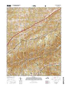
2016 Map of Villamont
USGS Topo · Published 2016About this map
Simmons Cem and Booze Cem are positioned along the lower elevations of this terrain where the Jefferson National Forest meets localized farming and transit corridors. The landscape is defined by the high ridges of the Blue Ridge, where the Appalachian National Scenic Trail winds past peaks like Grindstone Knob and Fullhart Knob. The historic influence of industry and transportation is evident in the path of the Norfolk Southern railroad and the presence of Houston Mines Rd, reflecting the area's extraction history. Settlements such as Nace, Troutville, and Villamont follow the valleys, while water features like Mill Creek and Back Cr drain the slopes. Genealogists may find value in the scattered burial grounds, including the Thompson Cemeteries and Saint Clair Cem, which remain as markers of long-established families near the Bedford Co and Botetourt Co line.
Find a feature on this map
101 named features on this map. Tap any name to fly to it.
Don’t see what you’re looking for? This feature index may not catch every label — zoom into the map to look around manually.
Map Details
Editions of this 2016 Villamont Map
This is the sole edition of this map. No revisions or reprints were ever made.
Other maps of this area

1890 · Roanoke
USGS Topo · 1:125,000

1891 · Roanoke
USGS Topo · 1:125,000

1894 · Natural Bridge
USGS Topo · 1:125,000

1894 · Natural Bridge
USGS Topo · 1:62,500

1907 · Natural Bridge Special
USGS Topo · 1:62,500

1913 · Eagle Rock
USGS Topo · 1:48,000

1915 · Eagle Rock
USGS Topo · 1:62,500

1929 · Roanoke
USGS Topo · 1:48,000

1933 · Roanoke
USGS Topo · 1:62,500

1947 · Roanoke
USGS Topo · 1:250,000