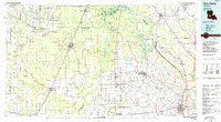
1986 Map of Ville Platte
USGS Topo · Published 1986About this map
Simmons Settlement and Pine Prairie anchor a landscape defined by the dense hydrological network of central Louisiana in the mid-1980s. The region is bisected by major transit corridors, with the Atchison Topeka and Santa Fe RR and Missouri Pacific RR carving through timberlands and rural parishes. Large protected areas like the Kisatchie National Forest in the northwest and Chicot State Park near Ville Platte provide a clear view of land preservation alongside developing town centers.
Find a feature on this map
120 named features on this map. Tap any name to fly to it.
Don’t see what you’re looking for? This feature index may not catch every label — zoom into the map to look around manually.
Map Details
Editions of this 1986 Ville Platte Map
2 editions found
Other maps of this area
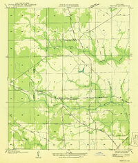
1935 · Beaver
USGS Topo · 1:31,680
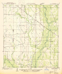
1935 · Mittie
USGS Topo · 1:31,680
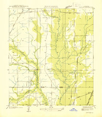
1935 · Pawnee
USGS Topo · 1:31,680
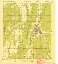
1935 · Oakdale
USGS Topo · 1:31,680
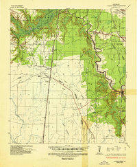
1935 · Turkey Creek
USGS Topo · 1:62,500
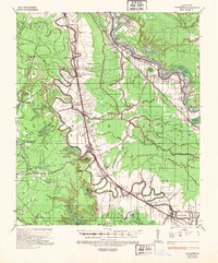
1935 · Lecompte
USGS Topo · 1:62,500
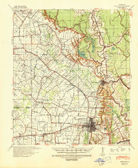
1939 · Opelousas
USGS Topo · 1:62,500
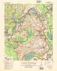
1940 · Marksville
USGS Topo · 1:62,500
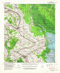
1940 · Arnaudville
USGS Topo · 1:62,500
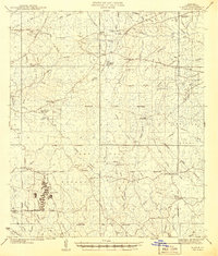
1941 · Slagle
USGS Topo · 1:62,500