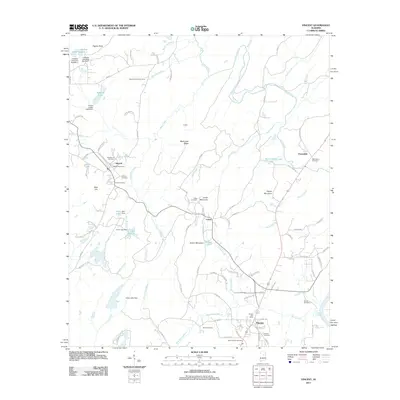
2011 Map of Vincent
USGS Topo · Published 2011About this map
Vincent and its surrounding Shelby County terrain are defined by a complex network of waterways and ridges. The landscape transitions from the heights of Black Jack Ridge and Quarry Mountain down to the shores of Lay Lake. A significant number of localized burial grounds, including the Old Sterrett Cemetery, Macedonia Cemetery, and the Raley Family Cemetery, offer essential geographic markers for genealogists tracing family roots in this part of Alabama.
Find a feature on this map
101 named features on this map. Tap any name to fly to it.
Don’t see what you’re looking for? This feature index may not catch every label — zoom into the map to look around manually.
Map Details
Editions of this 2011 Vincent Map
This is the sole edition of this map. No revisions or reprints were ever made.
Other maps of this area

1889 · Springville
USGS Topo · 1:125,000

1889 · Birmingham
USGS Topo · 1:125,000

1890 · Bessemer
USGS Topo · 1:125,000

1890 · Talladega
USGS Topo · 1:125,000

1892 · Birmingham
USGS Topo · 1:125,000

1892 · Springville
USGS Topo · 1:125,000

1892 · Talladega
USGS Topo · 1:125,000

1892 · Bessemer
USGS Topo · 1:125,000

1895 · Birmingham
USGS Topo · 1:125,000

1905 · Leeds
USGS Topo · 1:62,500