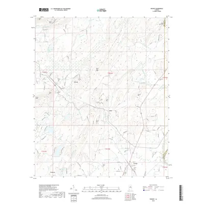
2018 Map of Vincent
USGS Topo · Published 2018About this map
Vincent serves as a local hub near the southeastern bend of the Coosa River, where the landscape transitions into the waters of Lay Lake. The surrounding terrain is defined by a series of distinct elevations such as Black Jack Ridge, Quarry Mtn, and Linder Mtn, which frame the small settlements of Calcis, Sterrett, and Westover. This 2018 survey reveals a rural network of county roads and creek valleys, including Kelly Creek and Hurricane Cr, that historically supported local agriculture and industry.
Find a feature on this map
116 named features on this map. Tap any name to fly to it.
Don’t see what you’re looking for? This feature index may not catch every label — zoom into the map to look around manually.
Map Details
Editions of this 2018 Vincent Map
This is the sole edition of this map. No revisions or reprints were ever made.
Other maps of this area

1889 · Springville
USGS Topo · 1:125,000

1889 · Birmingham
USGS Topo · 1:125,000

1890 · Bessemer
USGS Topo · 1:125,000

1890 · Talladega
USGS Topo · 1:125,000

1892 · Birmingham
USGS Topo · 1:125,000

1892 · Springville
USGS Topo · 1:125,000

1892 · Talladega
USGS Topo · 1:125,000

1892 · Bessemer
USGS Topo · 1:125,000

1895 · Birmingham
USGS Topo · 1:125,000

1905 · Leeds
USGS Topo · 1:62,500