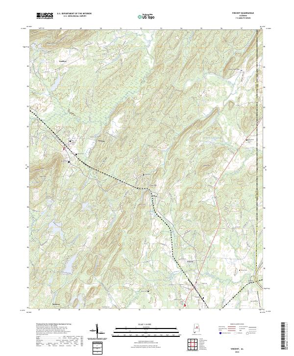
2024 Map of Vincent
USGS Topo · Published 2024About this map
The Coosa River corridor defines the eastern edge of this landscape, where historical river-dependent landmarks like Glovers Ferry and Lay Landing remain as geographic markers. The area is characterized by several distinct communities, including Vincent, Vandiver, and Sterrett, each with its own clustered local history preserved through sites like the Old Sterrett Cem and Beulah Cem. The terrain is shaped by several prominent ridges and peaks, most notably Black Jack Ridge, Linder Mtn, and Glover Mtn, which create a complex drainage system feeding into Kelly Creek and Spring Creek.
Find a feature on this map
123 named features on this map. Tap any name to fly to it.
Don’t see what you’re looking for? This feature index may not catch every label — zoom into the map to look around manually.
Map Details
Editions of this 2024 Vincent Map
This is the sole edition of this map. No revisions or reprints were ever made.
Other maps of this area

1889 · Springville
USGS Topo · 1:125,000

1889 · Birmingham
USGS Topo · 1:125,000

1890 · Bessemer
USGS Topo · 1:125,000

1890 · Talladega
USGS Topo · 1:125,000

1892 · Birmingham
USGS Topo · 1:125,000

1892 · Springville
USGS Topo · 1:125,000

1892 · Talladega
USGS Topo · 1:125,000

1892 · Bessemer
USGS Topo · 1:125,000

1895 · Birmingham
USGS Topo · 1:125,000

1905 · Leeds
USGS Topo · 1:62,500