Loading...
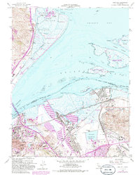
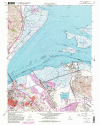
Loading map...1959 Map of Vine Hill
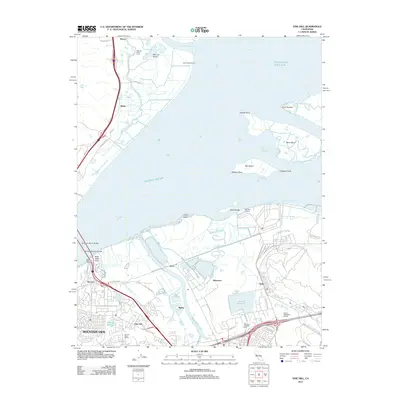
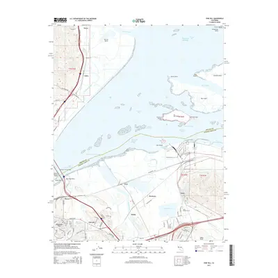
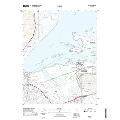
USGS Topo · Published 1986About this map
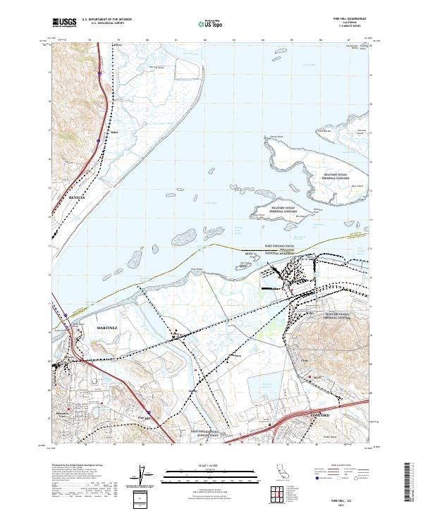
The industrial and maritime corridors of Contra Costa County define this landscape at the junction of Suisun Bay and the Carquinez Strait. Heavy industry is a central theme, evidenced by the sprawling Oil Refinery near Avon and the Monsanto facility, alongside extensive rail networks including the Southern Pacific and the Atchison Topeka and Santa Fe. The map illustrates the strategic military presence of the Naval Weapons Station Concord, which occupies a significant portion of the eastern marshlands and waterfront.
Find a feature on this map
68 named features on this map. Tap any name to fly to it.
Don’t see what you’re looking for? This feature index may not catch every label — zoom into the map to look around manually.
Map Details
Date Portrayed1959
Date Published1986
PublisherU.S. Geological Survey
Map TypeTopographic
Scale1:24,000
Physical Dimensions21.5 x 26.8 inches
Editions of this 1959 Vine Hill Map
5 editions found
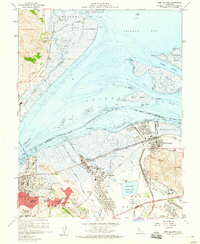
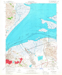
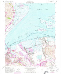
Historical Maps of Concord Through Time
5 maps found
Featured Locations
Source Details
SourceU.S. Geological Survey
CopyrightPublic Domain