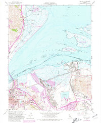
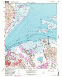
1959 Map of Vine Hill
USGS Topo · Published 1981About this map
Avon (Associated PO) and the industrial reaches of Mococo define the mid-century landscape where Contra Costa County meets the Suisun Bay. This 1959 record, with revisions through the late 1970s, captures a pivotal era of infrastructure and industry. Heavy rail corridors of the Southern Pacific and Atchison Topeka and Santa Fe converge near massive installations like the Oil Refinery and Monsanto plant, illustrating the region's transition into a major petrochemical and logistics hub.
Find a feature on this map
62 named features on this map. Tap any name to fly to it.
Don’t see what you’re looking for? This feature index may not catch every label — zoom into the map to look around manually.
Map Details
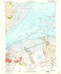
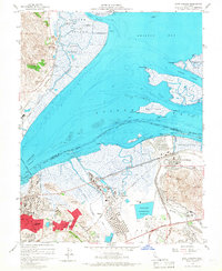
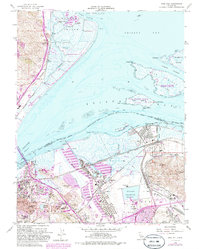
Editions of this 1959 Vine Hill Map
5 editions found
Other maps of this area

1896 · Carquinez Strait
USGS Topo · 1:62,500

1896 · Mt. Diablo
USGS Topo · 1:62,500

1897 · Concord
USGS Topo · 1:62,500

1898 · Karquines
USGS Topo · 1:62,500

1898 · Mt. Diablo
USGS Topo · 1:62,500

1901 · Karquines
USGS Topo · 1:62,500

1902 · Napa
USGS Topo · 1:125,000

1907 · Antioch
USGS Topo · 1:62,500

1908 · Antioch
USGS Topo · 1:62,500

1915 · Concord
USGS Topo · 1:62,500