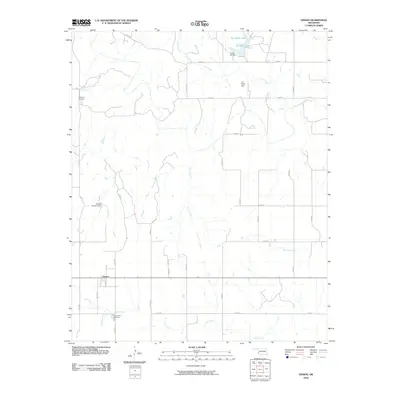
2010 Map of Vinson
USGS Topo · Published 2010About this map
Vinson serves as the central hub of this western Oklahoma landscape, situated at the intersection of several section-line roads during the early 21st century. The topography is defined by a network of drainage systems, including Hackberry Creek in the northwest and Canary Creek flowing through the center. This drainage pattern is heavily managed by local agricultural infrastructure, evidenced by the presence of Russell Overton Dam, J B Hollis Dam, and the Hollis 118 Dam which contains Doc Hollis Lake.
Find a feature on this map
33 named features on this map. Tap any name to fly to it.
Don’t see what you’re looking for? This feature index may not catch every label — zoom into the map to look around manually.
Map Details
Editions of this 2010 Vinson Map
This is the sole edition of this map. No revisions or reprints were ever made.
Other maps of this area

1955 · Lawton
USGS Topo · 1:250,000

1955 · Clinton
USGS Topo · 1:250,000

1957 · Clinton
USGS Topo · 1:250,000

1961 · Willow
USGS Topo · 1:62,500

1961 · Erick
USGS Topo · 1:62,500

1971 · Russell
USGS Topo · 1:24,000
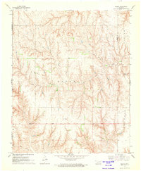
1971 · Madge
USGS Topo · 1:24,000

1971 · Vinson
USGS Topo · 1:24,000
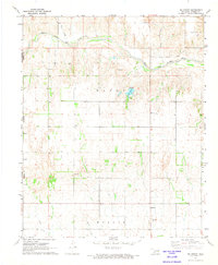
1971 · Mc Knight
USGS Topo · 1:24,000

1971 · Reed
USGS Topo · 1:24,000