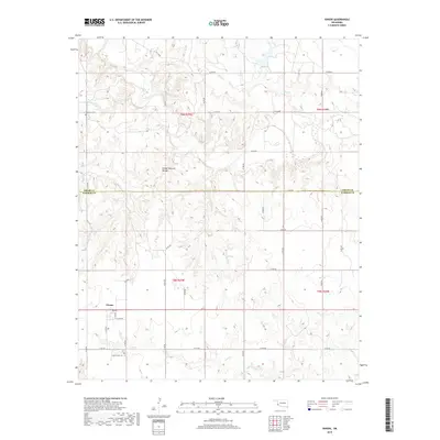
2018 Map of Vinson
USGS Topo · Published 2018About this map
Vinson serves as the central settlement in this southwestern Oklahoma landscape, positioned near the boundary between Greer Co and Harmon Co. The area is defined by a dense network of seasonal drainages, including Hackberry Cr and Root Cr, which carve through the terrain of t6n r25w and t5n r25w. A unique geologic landmark, the Vinson Natural Bridge, is located north of the townsite, highlighting the specific erosion patterns of this region.
Find a feature on this map
36 named features on this map. Tap any name to fly to it.
Don’t see what you’re looking for? This feature index may not catch every label — zoom into the map to look around manually.
Map Details
Editions of this 2018 Vinson Map
This is the sole edition of this map. No revisions or reprints were ever made.
Other maps of this area

1955 · Lawton
USGS Topo · 1:250,000

1955 · Clinton
USGS Topo · 1:250,000

1957 · Clinton
USGS Topo · 1:250,000

1961 · Willow
USGS Topo · 1:62,500

1961 · Erick
USGS Topo · 1:62,500

1971 · Russell
USGS Topo · 1:24,000
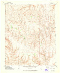
1971 · Madge
USGS Topo · 1:24,000

1971 · Vinson
USGS Topo · 1:24,000
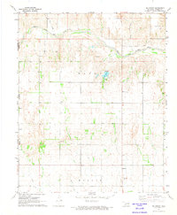
1971 · Mc Knight
USGS Topo · 1:24,000

1971 · Reed
USGS Topo · 1:24,000