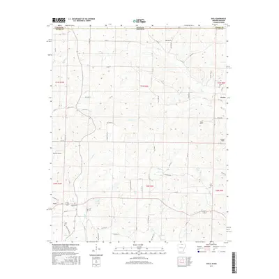
2017 Map of Viola
USGS Topo · Published 2017About this map
Viola and Sturkie anchor this rural landscape in the Ozark foothills during the early twenty-first century. The terrain is defined by a series of hollows and prominent rises, most notably Shaw Knob and Wildcat Knob. The area's agricultural and social history is preserved in several small burial grounds, including Barker Cem and Watkins Cem. The hydrology of the region is dominated by winding waterways like Big Creek and Pine Hill Creek, which flow through the undulating land alongside numerous springs such as Flint Spring. Smaller water bodies like Sparks Lake and James Lake are tucked between ridges, illustrating the natural water management in this pocket of Fulton County. The road network, consisting of many county routes like Browns Chapel Road and Hill String Road, follows the natural contours of the land, connecting scattered homesteads to the primary hub at Viola.
Find a feature on this map
77 named features on this map. Tap any name to fly to it.
Don’t see what you’re looking for? This feature index may not catch every label — zoom into the map to look around manually.
Map Details
Editions of this 2017 Viola Map
This is the sole edition of this map. No revisions or reprints were ever made.
Other maps of this area

1890 · Mountain Home
USGS Topo · 1:125,000

1891 · Mountain Home
USGS Topo · 1:125,000

1894 · Mountain Home
USGS Topo · 1:125,000

1944 · West Plains
USGS Topo · 1:62,500

1944 · Cureall
USGS Topo · 1:62,500

1945 · Harrison
USGS Topo · 1:250,000

1946 · West Plains
USGS Topo · 1:62,500

1946 · Cureall
USGS Topo · 1:62,500

1949 · Harrison
USGS Topo · 1:250,000

1950 · Salem
USGS Topo · 1:62,500