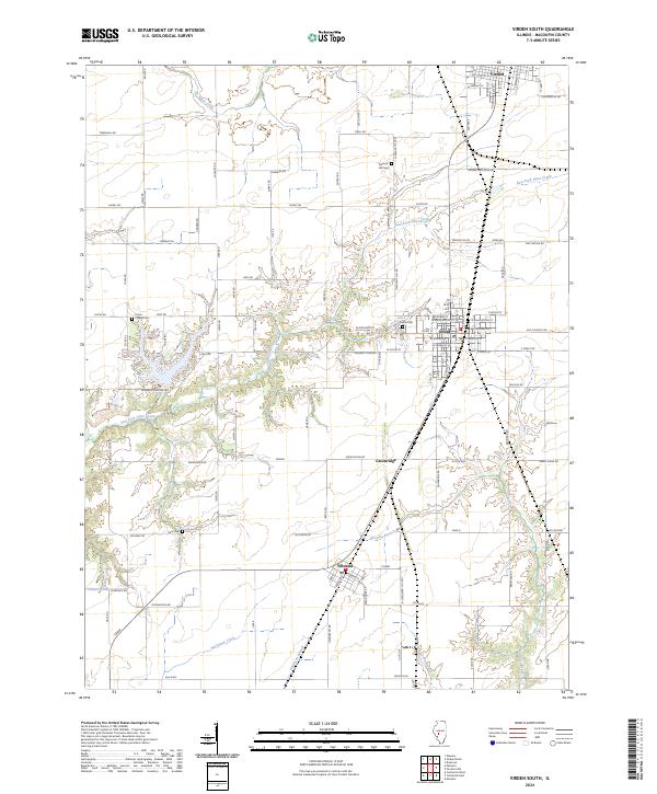
2024 Map of Virden South
USGS Topo · Published 2024About this map
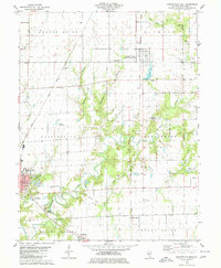
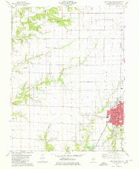
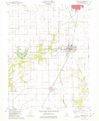
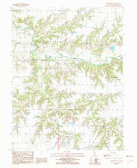
Girard and Nilwood anchor the central portion of this Macoupin County landscape, where the flat upland prairies of central Illinois are deeply incised by the drainage systems of East Fork Otter Creek and Hurricane Creek. The rectilinear grid of rural roads, including Old RTE 4 and Thomasville RD, reflects the systematic agricultural development of the region. Local heritage is preserved in numerous burial grounds scattered throughout the township lines, such as Union Chapel Cem, Pleasant Hill Cem, and Blackhawk Cem.
Find a feature on this map
117 named features on this map. Tap any name to fly to it.
Don’t see what you’re looking for? This feature index may not catch every label — zoom into the map to look around manually.
Map Details
Editions of this 2024 Virden South Map
This is the sole edition of this map. No revisions or reprints were ever made.
Historical Maps of Virden Through Time
17 maps found
1974 Gillespie North
Macoupin County, IL
1974 Gillespie South
Macoupin County, IL
1974 Plainview
Macoupin County, IL
1979 Carlinville East
Macoupin County, IL
1979 Carlinville West
Macoupin County, IL
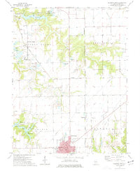
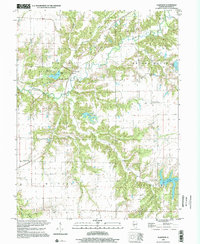
1979 Virden South
Macoupin County, IL
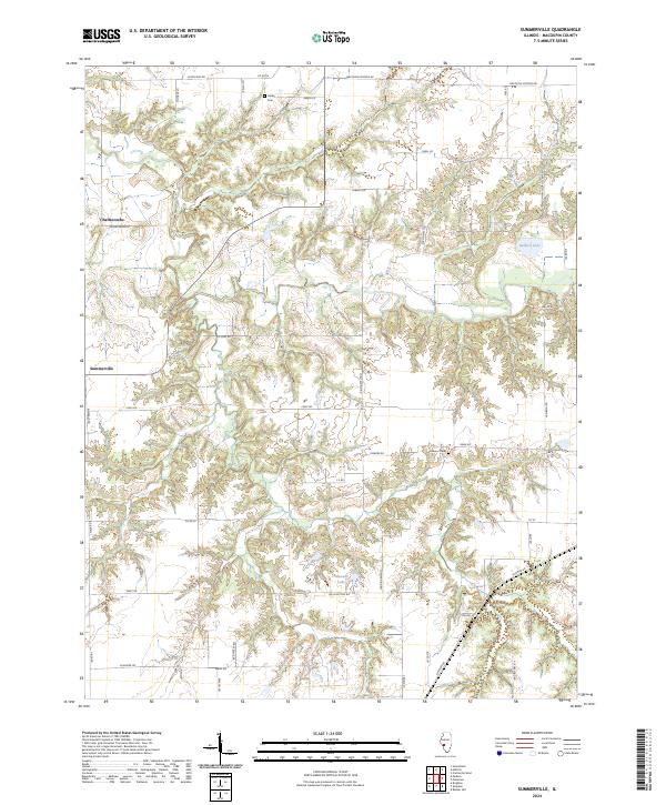
1982 Summerville
Macoupin County, IL
1998 Carlinville West
Macoupin County, IL
1998 Plainview
Macoupin County, IL
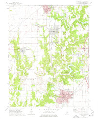
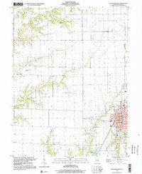
1998 Virden South
Macoupin County, IL
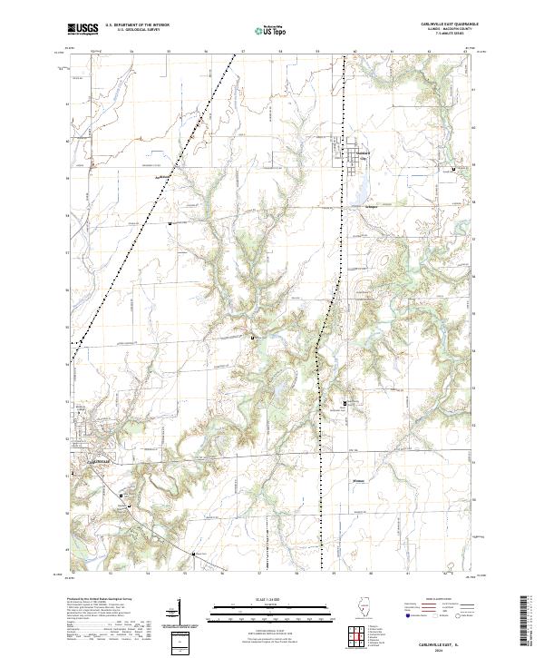
2024 Carlinville East
Macoupin County, IL
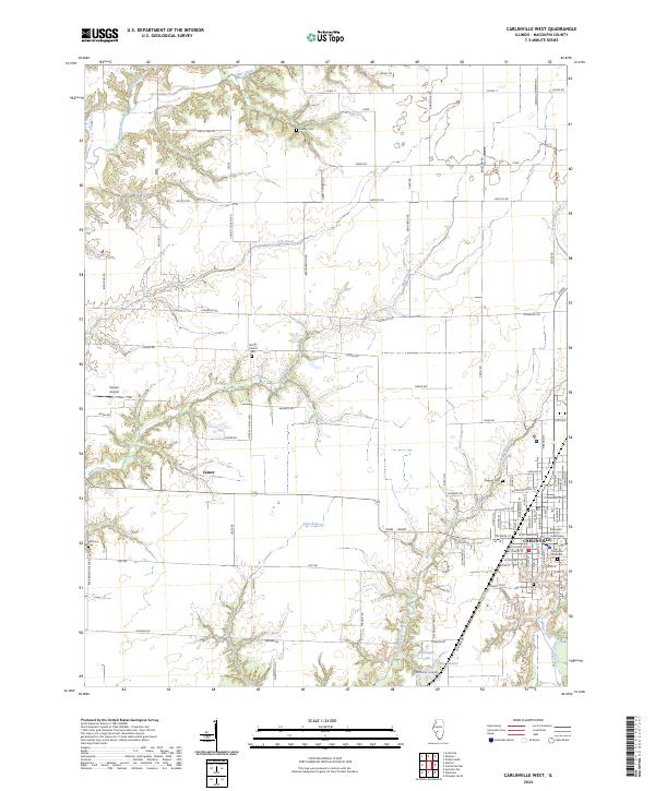
2024 Carlinville West
Macoupin County, IL
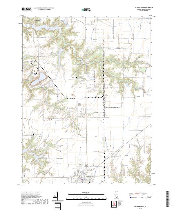
2024 Gillespie North
Macoupin County, IL
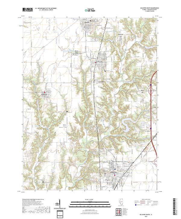
2024 Gillespie South
Macoupin County, IL
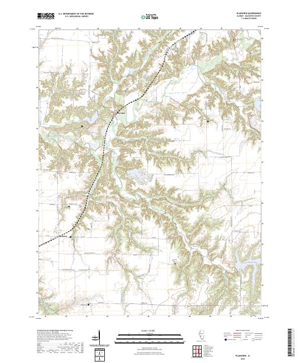
2024 Plainview
Macoupin County, IL
2024 Summerville
Macoupin County, IL
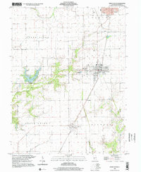
2024 Virden South
Macoupin County, IL