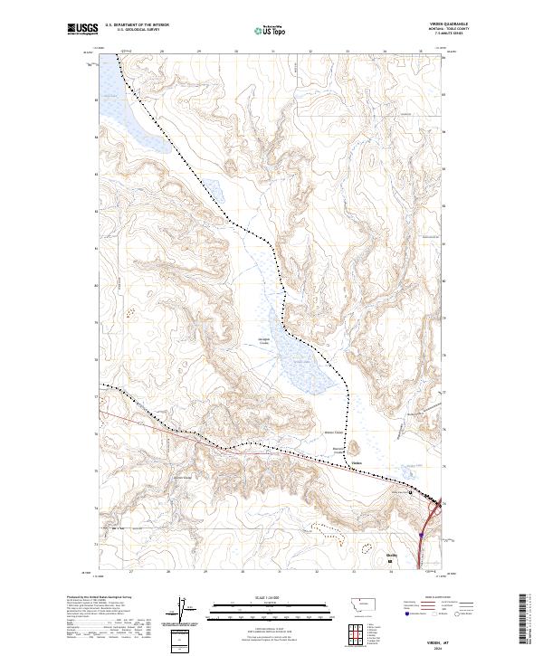
2024 Map of Virden
USGS Topo · Published 2024About this map
Virden and the northern outskirts of Shelby define this section of the Montana High Line, where the landscape is etched by a complex network of glacial meltwater channels. The terrain is characterized by numerous coulees, such as Gavagain Coulee and Dumas Coulee, which create a rugged relief against the surrounding plains. These drainage patterns dictate the placement of local infrastructure, with roads like Wiegand Rd and Heath Rd navigating the breaks.
Find a feature on this map
21 named features on this map. Tap any name to fly to it.
Don’t see what you’re looking for? This feature index may not catch every label — zoom into the map to look around manually.
Map Details
Editions of this 2024 Virden Map
This is the sole edition of this map. No revisions or reprints were ever made.
Other maps of this area

1909 · Cut Bank
USGS Topo · 1:125,000

1912 · Cut Bank
USGS Topo · 1:125,000

1920 · Dupuyer
USGS Topo · 1:125,000

1920 · Conrad
USGS Topo · 1:125,000

1934 · Valier
USGS Topo · 1:62,500

1937 · Valier
USGS Topo · 1:62,500

1943 · Shelby
USGS Topo · 1:62,500

1954 · Shelby
USGS Topo · 1:250,000

1958 · Shelby
USGS Topo · 1:250,000

1960 · Cut Bank
USGS Topo · 1:250,000