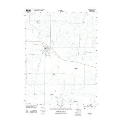
2012 Map of Virginia
USGS Topo · Published 2012About this map
Virginia serves as the central hub of this Cass County landscape, where a dense grid of streets like W Beardstown St and S Stowe St meet the surrounding agricultural plains. The area is exceptionally dense with family-named burial grounds, providing a significant resource for genealogical research. Notable sites include the Walnut Ridge Cem north of town and more remote locations such as the John Epler Taylor Cem and Levi Springer Cem.
Find a feature on this map
48 named features on this map. Tap any name to fly to it.
Don’t see what you’re looking for? This feature index may not catch every label — zoom into the map to look around manually.
Map Details
Editions of this 2012 Virginia Map
This is the sole edition of this map. No revisions or reprints were ever made.
Other maps of this area

1926 · Beardstown
USGS Topo · 1:62,500

1929 · Arenzville
USGS Topo · 1:62,500

1930 · Chandlerville
USGS Topo · 1:62,500

1932 · Arenzville
USGS Topo · 1:62,500

1932 · Chandlerville
USGS Topo · 1:62,500

1932 · Virginia
USGS Topo · 1:62,500

1936 · Virginia
USGS Topo · 1:62,500

1944 · Beardstown
USGS Topo · 1:62,500

1948 · Quincy
USGS Topo · 1:250,000

1956 · Quincy
USGS Topo · 1:250,000