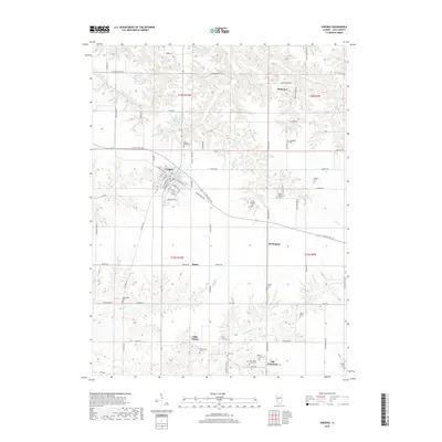
2018 Map of Virginia
USGS Topo · Published 2018About this map
Virginia serves as a central hub for this portion of Cass County, situated at the intersection of W State Rte 125 and Beardstown Rd. The landscape is defined by the winding paths of Little Indian Cr and Prairie Cr, which carve through the surrounding farmland and wooded areas like Buck Hollow. For genealogists and local historians, this map is particularly valuable for its high density of family and community burial grounds, including John Epler Taylor Cem, Levi Springer Cem, and Walnut Ridge Cem. Small rural clusters such as Little Indian, Burlingame, and Old Princeton illustrate the dispersed nature of early settlement in the Illinois interior. The presence of Virginia Lake north of town provides a distinct water feature amidst the complex drainage patterns of Indian Run and its tributaries.
Find a feature on this map
82 named features on this map. Tap any name to fly to it.
Don’t see what you’re looking for? This feature index may not catch every label — zoom into the map to look around manually.
Map Details
Editions of this 2018 Virginia Map
This is the sole edition of this map. No revisions or reprints were ever made.
Other maps of this area

1926 · Beardstown
USGS Topo · 1:62,500

1929 · Arenzville
USGS Topo · 1:62,500

1930 · Chandlerville
USGS Topo · 1:62,500

1932 · Arenzville
USGS Topo · 1:62,500

1932 · Chandlerville
USGS Topo · 1:62,500

1932 · Virginia
USGS Topo · 1:62,500

1936 · Virginia
USGS Topo · 1:62,500

1944 · Beardstown
USGS Topo · 1:62,500

1948 · Quincy
USGS Topo · 1:250,000

1956 · Quincy
USGS Topo · 1:250,000