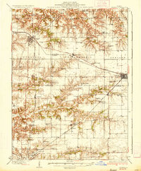
1936 Map of Virginia
USGS Topo · Published 1936About this map
Virginia and Ashland anchor the landscape of this 1930s survey, marking a period when central Illinois was a dense network of small rural schools and local parish churches. The agricultural character of the Sangamon Valley is evident in the sheer number of named schoolhouses like Brush College Sch, Crows Point Sch, and Science Hill Sch, which served families across the Cass Co and Morgan Co line.
Find a feature on this map
72 named features on this map. Tap any name to fly to it.
Don’t see what you’re looking for? This feature index may not catch every label — zoom into the map to look around manually.
Map Details
Editions of this 1936 Virginia Map
2 editions found

Other maps of this area

1909 · Tallula
USGS Topo · 1:62,500

1924 · Winchester
USGS Topo · 1:48,000

1924 · Waverly
USGS Topo · 1:62,500

1926 · Beardstown
USGS Topo · 1:62,500

1926 · Winchester
USGS Topo · 1:62,500

1926 · Waverly
USGS Topo · 1:62,500

1929 · Arenzville
USGS Topo · 1:62,500

1930 · Chandlerville
USGS Topo · 1:62,500

1932 · Arenzville
USGS Topo · 1:62,500

1932 · Chandlerville
USGS Topo · 1:62,500