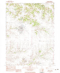
1983 Map of Virginia
USGS Topo · Published 1983About this map
The town of Virginia serves as the focal point of this 1983 provisional survey, situated at the intersection of prairie lands and the undulating Sangamon Valley. This agricultural landscape in Cass County is defined by its deep drainage networks, including Indian Creek, Panther Creek, and Clear Creek, which carve through the terrain. The map provides significant genealogical value through its preservation of numerous family and community burial grounds, such as Walnut Ridge Cem, Hopkins Cem, and Springer Cem.
Find a feature on this map
32 named features on this map. Tap any name to fly to it.
Don’t see what you’re looking for? This feature index may not catch every label — zoom into the map to look around manually.
Map Details
Editions of this 1983 Virginia Map
This is the sole edition of this map. No revisions or reprints were ever made.
Other maps of this area

1926 · Beardstown
USGS Topo · 1:62,500

1929 · Arenzville
USGS Topo · 1:62,500

1930 · Chandlerville
USGS Topo · 1:62,500

1932 · Arenzville
USGS Topo · 1:62,500

1932 · Chandlerville
USGS Topo · 1:62,500

1932 · Virginia
USGS Topo · 1:62,500

1936 · Virginia
USGS Topo · 1:62,500

1944 · Beardstown
USGS Topo · 1:62,500

1948 · Quincy
USGS Topo · 1:250,000

1956 · Quincy
USGS Topo · 1:250,000