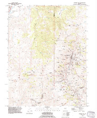
1994 Map of Virginia City
USGS Topo · Published 1994About this map
Virginia City and its neighboring mining settlements of Gold Hill and Silver City define this Comstock Lode landscape as it appeared in the mid-1990s. The map reveals the intense density of 19th-century industrial silver mining, with the terrain deeply scarred by numerous shafts and open cuts. Heavy industrial work is evidenced by landmarks such as the Savage Mine, Chollar Mine, and the massive Imperial Pit. Beyond the pits and shafts, the social and institutional history of the district is preserved in several cemeteries including Masonic, Pioneer, and Cedar Hill.
Find a feature on this map
113 named features on this map. Tap any name to fly to it.
Don’t see what you’re looking for? This feature index may not catch every label — zoom into the map to look around manually.
Map Details
Editions of this 1994 Virginia City Map
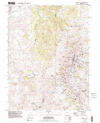
2 editions found
Other maps of this area

1891 · Carson
USGS Topo · 1:125,000

1893 · Carson
USGS Topo · 1:125,000

1950 · Virginia City
USGS Topo · 1:62,500

1950 · Mt. Rose
USGS Topo · 1:62,500

1952 · Mt. Rose
USGS Topo · 1:62,500

1952 · Virginia City
USGS Topo · 1:62,500

1956 · Dayton
USGS Topo · 1:62,500

1956 · Carson City
USGS Topo · 1:62,500

1957 · Reno
USGS Topo · 1:250,000

1959 · Reno
USGS Topo · 1:250,000