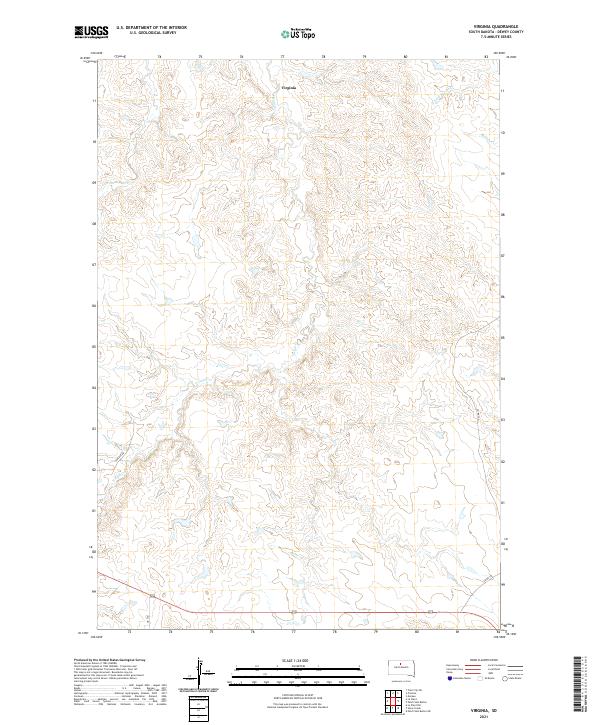
2021 Map of Virginia
USGS Topo · Published 2021About this map
The settlement of Virginia anchors this portion of Dewey County, situated within a landscape defined by the branching drainage of Virgin Cr. Located in the expansive grasslands of South Dakota, the area exhibits a sparse but structured network of early 21st-century rural roads, including Laplant Rd and Cr 14G. The drainage patterns here are particularly intricate, with Left Hand Bear Cr and E Fork Beaver Cr carving subtle relief across the terrain.
Find a feature on this map
12 named features on this map. Tap any name to fly to it.
Don’t see what you’re looking for? This feature index may not catch every label — zoom into the map to look around manually.
Map Details
Editions of this 2021 Virginia Map
This is the sole edition of this map. No revisions or reprints were ever made.
Other maps of this area

1951 · Virginia
USGS Topo · 1:24,000

1951 · La Plant
USGS Topo · 1:24,000

1951 · Promise
USGS Topo · 1:24,000

1952 · Trail City SW
USGS Topo · 1:24,000

1953 · McIntosh
USGS Topo · 1:250,000

1958 · McIntosh
USGS Topo · 1:250,000

1968 · Moreau
USGS Topo · 1:24,000

1969 · Patch Skin Buttes SW
USGS Topo · 1:24,000

1970 · Patch Skin Buttes
USGS Topo · 1:24,000
1981 · Stove Creek
USGS Topo · 1:24,000