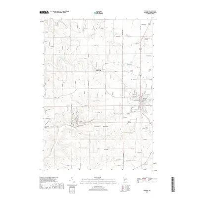
2018 Map of Viroqua
USGS Topo · Published 2018About this map
The Viroqua area of Vernon County is defined by its dramatic driftless topography, where high plateaus like Coon Prairie and Round Prairie give way to steep coulees and named hollows. This 2018 survey details the intricate network of ridges including Irish Ridge, Nottingham Ridge, and Belgium Ridge, which dictate the winding paths of rural roads like Peterson Dr and Ridge Rd. The landscape is etched by the Springville Br Bad Axe River and Hornby Cr, which cut deep valleys such as Hornby Hollow.
Find a feature on this map
127 named features on this map. Tap any name to fly to it.
Don’t see what you’re looking for? This feature index may not catch every label — zoom into the map to look around manually.
Map Details
Editions of this 2018 Viroqua Map
This is the sole edition of this map. No revisions or reprints were ever made.
Other maps of this area

1903 · Waukon
USGS Topo · 1:125,000

1923 · Viroqua
USGS Topo · 1:62,500

1924 · Gays Mills
USGS Topo · 1:62,500

1926 · Gays Mills
USGS Topo · 1:62,500

1926 · Stoddard
USGS Topo · 1:62,500

1926 · Viroqua
USGS Topo · 1:62,500

1929 · Ferryville
USGS Topo · 1:62,500

1932 · Ferryville
USGS Topo · 1:62,500

1958 · La Crosse
USGS Topo · 1:250,000

1961 · La Crosse
USGS Topo · 1:250,000