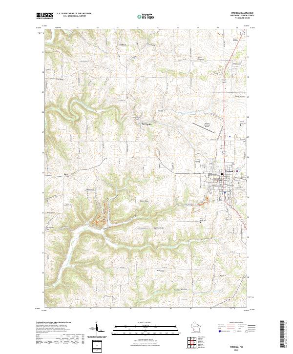
2022 Map of Viroqua
USGS Topo · Published 2022About this map
Viroqua serves as the focal point of this survey, anchored by the Vernon County Courthouse and the Western Technical College - Viroqua Campus. The landscape is defined by its ridge-and-hollow topography, where high ground like Irish Ridge, Nottingham Ridge, and Belgium Ridge separates deep valleys such as Norwegian Hollow and Hornby Hollow. This drainage pattern feeds into the Springville Br Bad Axe River and Hornby Cr, illustrating the driftless area's intricate water systems.
Find a feature on this map
86 named features on this map. Tap any name to fly to it.
Don’t see what you’re looking for? This feature index may not catch every label — zoom into the map to look around manually.
Map Details
Editions of this 2022 Viroqua Map
This is the sole edition of this map. No revisions or reprints were ever made.
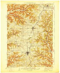
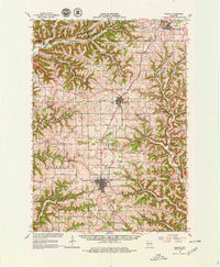
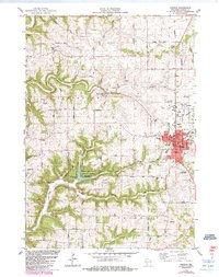
Historical Maps of Jefferson Through Time
5 maps found