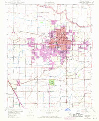
1949 Map of Visalia
USGS Topo · Published 1971About this map
Visalia is depicted as a growing regional hub in the post-war era, where agricultural infrastructure and suburban expansion begin to meet. The map reveals an intricate network of water management, with Wutchumna Ditch, Persian Ditch, and Modoc Ditch diverting water from the St Johns River and Mill Creek to support the surrounding fields. Educational and civic growth is evident through numerous landmarks, including the College of the Sequoias, Redwood High Sch, and the local Courthouse.
Find a feature on this map
64 named features on this map. Tap any name to fly to it.
Don’t see what you’re looking for? This feature index may not catch every label — zoom into the map to look around manually.
Map Details
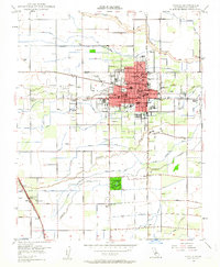
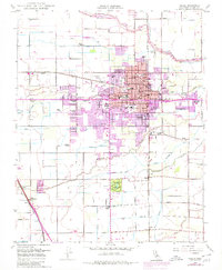
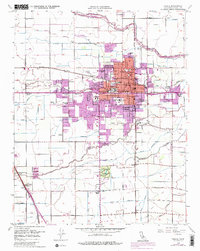
Editions of this 1949 Visalia Map
4 editions found
Other maps of this area

1925 · Tulare
USGS Topo · 1:31,680

1926 · Goshen
USGS Topo · 1:31,680

1926 · Ivanhoe
USGS Topo · 1:31,680

1926 · Exeter
USGS Topo · 1:31,680

1927 · Traver
USGS Topo · 1:31,680

1927 · Cairns Corner
USGS Topo · 1:31,680

1927 · Monson
USGS Topo · 1:31,680

1927 · Paige
USGS Topo · 1:31,680

1927 · Visalia
USGS Topo · 1:31,680

1927 · Tulare
USGS Topo · 1:31,680