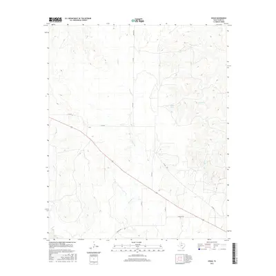
2016 Map of Vivian
USGS Topo · Published 2016About this map
Vivian stands at a rural crossroads in Foard County, defined by a landscape of intermittent drainages and ranching infrastructure as documented in 2016. The settlement is positioned along 70, which bisects the territory northwest to southeast, cutting through a topography shaped by several named watercourses including Cactus Cr and Blue Hole Cr. The drainage patterns suggest a terrain that, while largely arid, is periodically shaped by water movement into larger systems like Good Cr and Canal Cr. Local landmarks such as Half Circle Spring and the nearby Half Circle Cr point to established grazing lands and water sources essential for cattle operations. The road network, including Mormon Rd and various county roads like Co Rd 480, reveals the organized grid of West Texas land management and the navigational routes connecting these scattered ranching outposts.
Find a feature on this map
17 named features on this map. Tap any name to fly to it.
Don’t see what you’re looking for? This feature index may not catch every label — zoom into the map to look around manually.
Map Details
Editions of this 2016 Vivian Map
This is the sole edition of this map. No revisions or reprints were ever made.
Other maps of this area

1927 · Quanah 3-a
USGS Topo · 1:48,000

1927 · Quanah 3-b
USGS Topo · 1:48,000

1932 · Vivian
USGS Topo · 1:62,500

1954 · Lubbock
USGS Topo · 1:250,000

1954 · Plainview
USGS Topo · 1:250,000

1954 · Wichita Falls
USGS Topo · 1:250,000

1955 · Lawton
USGS Topo · 1:250,000

1958 · Wichita Falls
USGS Topo · 1:250,000

1958 · Plainview
USGS Topo · 1:250,000

1960 · Teacup Mountain
USGS Topo · 1:62,500