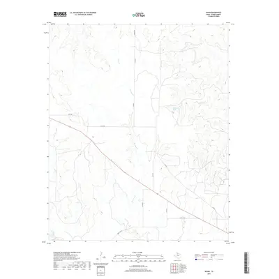
2019 Map of Vivian
USGS Topo · Published 2019About this map
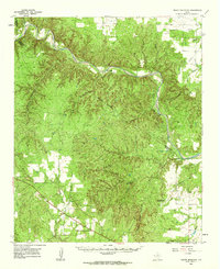
Blue Hole Cr and several other seasonal watercourses define this rural section of Foard County. The landscape is characterized by intermittent drainage patterns and a sparsely populated ranching environment, with few permanent structures or major settlements. The water features, including Blue Hole Cr, Half Circle Cr, and Cactus Cr, reveal the natural hydrology of the Texas plains before they reach more significant tributaries. Transport in the area is facilitated by a network of ranch roads and local connectors, including several identified by the U.S. Census Bureau during the late 2010s. This survey, published by the U.S. Geological Survey, uses high-resolution imagery and elevation data from the 21st century to chart the subtle contours and winding paths of Cedar Cr and its surroundings.
Find a feature on this map
4 named features on this map. Tap any name to fly to it.
Don’t see what you’re looking for? This feature index may not catch every label — zoom into the map to look around manually.
Map Details
Editions of this 2019 Vivian Map
This is the sole edition of this map. No revisions or reprints were ever made.
Other maps of this area
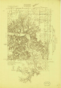
1927 · Quanah 3-a
USGS Topo · 1:48,000
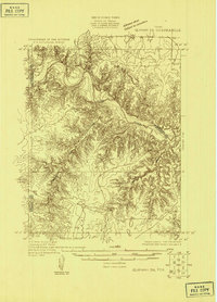
1927 · Quanah 3-b
USGS Topo · 1:48,000
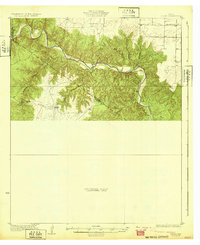
1932 · Vivian
USGS Topo · 1:62,500

1954 · Lubbock
USGS Topo · 1:250,000

1954 · Plainview
USGS Topo · 1:250,000

1954 · Wichita Falls
USGS Topo · 1:250,000

1955 · Lawton
USGS Topo · 1:250,000

1958 · Wichita Falls
USGS Topo · 1:250,000

1958 · Plainview
USGS Topo · 1:250,000
1960 · Teacup Mountain
USGS Topo · 1:62,500