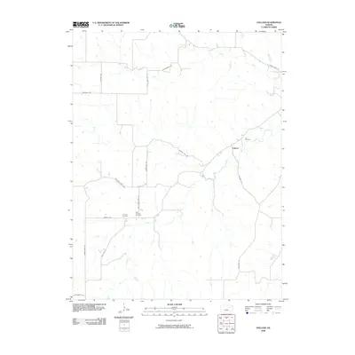
2009 Map of Volland
USGS Topo · Published 2009About this map
Volland anchors this rural landscape where agricultural history and topography converge along the West Branch Mill Creek. The area is characterized by its network of creeks and drainage branches, including Mill Branch and Spring Creek, which have influenced the local road system and settlement patterns. Genealogists will find significant value in the distribution of family and community burial sites, specifically Fix Cemetery near the main settlement and the duo of Templin Cemetery and East Templin Cemetery situated further south. The transportation network is notably defined by descriptive routes such as Drovers Trail Rd and Old Stone Fort Rd, suggesting a legacy of movement and early infrastructure. This 2009 survey reflects the enduring rural character of the region, where named landmarks are primarily tied to natural watercourses and established cemeteries.
Find a feature on this map
22 named features on this map. Tap any name to fly to it.
Don’t see what you’re looking for? This feature index may not catch every label — zoom into the map to look around manually.
Map Details
Editions of this 2009 Volland Map
This is the sole edition of this map. No revisions or reprints were ever made.
Other maps of this area

1885 · Eskridge
USGS Topo · 1:125,000

1886 · Junction City
USGS Topo · 1:125,000

1889 · Wamego
USGS Topo · 1:125,000

1889 · Junction City
USGS Topo · 1:125,000

1889 · Parkerville
USGS Topo · 1:125,000

1889 · Eskridge
USGS Topo · 1:125,000

1894 · Eskridge
USGS Topo · 1:125,000

1894 · Junction City
USGS Topo · 1:125,000

1894 · Parkerville
USGS Topo · 1:125,000

1894 · Wamego
USGS Topo · 1:125,000