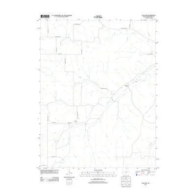
2012 Map of Volland
USGS Topo · Published 2012About this map
The settlement of Volland sits as a primary landmark in this section of Wabaunsee County, where the landscape is defined by the winding paths of Spring Cr and the W Br Mill Cr. This portion of the Kansas Flint Hills preserves a rural network of roads with names that evoke the region's agricultural and transit history, including Drovers Trail Rd, Stockgrower Rd, and Old Stone Fort Rd.
Find a feature on this map
21 named features on this map. Tap any name to fly to it.
Don’t see what you’re looking for? This feature index may not catch every label — zoom into the map to look around manually.
Map Details
Editions of this 2012 Volland Map
This is the sole edition of this map. No revisions or reprints were ever made.
Other maps of this area

1885 · Eskridge
USGS Topo · 1:125,000

1886 · Junction City
USGS Topo · 1:125,000

1889 · Wamego
USGS Topo · 1:125,000

1889 · Junction City
USGS Topo · 1:125,000

1889 · Parkerville
USGS Topo · 1:125,000

1889 · Eskridge
USGS Topo · 1:125,000

1894 · Eskridge
USGS Topo · 1:125,000

1894 · Junction City
USGS Topo · 1:125,000

1894 · Parkerville
USGS Topo · 1:125,000

1894 · Wamego
USGS Topo · 1:125,000