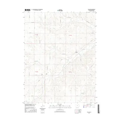
2015 Map of Volland
USGS Topo · Published 2015About this map
Volland stands at the center of this rural landscape in Wabaunsee County, where the ranching heritage of the Flint Hills is inscribed in the names of its winding roads and scattered burial grounds. The settlement is positioned near the winding West Br Mill Cr, a waterway that defines the drainage of this upland terrain. For genealogists and local historians, the map identifies three distinct cemeteries—Fix Cem, West Templin Cem, and East Templin Cem—situated along the township lines of T12S and T13S. The network of local routes, including Old Stone Fort Rd, Drovers Trail Rd, and Bluestem Rd, reflects the area's agricultural past and its connection to larger cattle-driving traditions. Small drainages like Spring Cr cut through the high ground, illustrating the topographical challenges of this prairie region where homesteads and cemeteries are often the most prominent markers of 19th-century settlement patterns.
Find a feature on this map
31 named features on this map. Tap any name to fly to it.
Don’t see what you’re looking for? This feature index may not catch every label — zoom into the map to look around manually.
Map Details
Editions of this 2015 Volland Map
This is the sole edition of this map. No revisions or reprints were ever made.
Other maps of this area
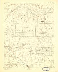
1885 · Eskridge
USGS Topo · 1:125,000
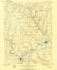
1886 · Junction City
USGS Topo · 1:125,000
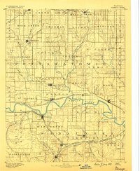
1889 · Wamego
USGS Topo · 1:125,000
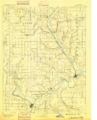
1889 · Junction City
USGS Topo · 1:125,000
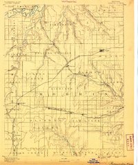
1889 · Parkerville
USGS Topo · 1:125,000
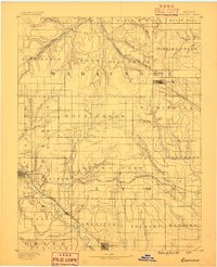
1889 · Eskridge
USGS Topo · 1:125,000
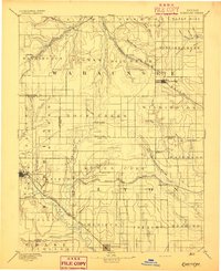
1894 · Eskridge
USGS Topo · 1:125,000
1894 · Junction City
USGS Topo · 1:125,000
1894 · Parkerville
USGS Topo · 1:125,000
1894 · Wamego
USGS Topo · 1:125,000