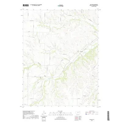
2018 Map of Volland
USGS Topo · Published 2018About this map
Volland anchors this portion of Wabaunsee County, situated where Volland Rd meets the winding course of W Br Mill Cr. The landscape is defined by a dense network of country roads and drainage systems, including Spring Cr and Poole Br. For genealogists and local historians, the placement of rural burial sites is significant, with Fix Cem located north of the main settlement and the East Templin Cem and West Templin Cem situated further south near Templin Rd. The road names themselves hint at the area's agricultural and transit history, from the evocative Drovers Trail Rd and Little Egypt Rd to the historic path of Old K10 Rd. This modern survey provides a detailed record of land divisions across townships T12S and T13S, preserving the location of family landmarks and small-scale infrastructure within the Kansas ranching country.
Find a feature on this map
31 named features on this map. Tap any name to fly to it.
Don’t see what you’re looking for? This feature index may not catch every label — zoom into the map to look around manually.
Map Details
Editions of this 2018 Volland Map
This is the sole edition of this map. No revisions or reprints were ever made.
Other maps of this area
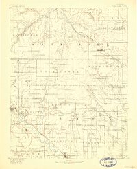
1885 · Eskridge
USGS Topo · 1:125,000
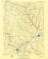
1886 · Junction City
USGS Topo · 1:125,000
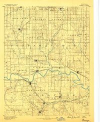
1889 · Wamego
USGS Topo · 1:125,000
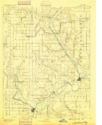
1889 · Junction City
USGS Topo · 1:125,000
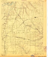
1889 · Parkerville
USGS Topo · 1:125,000
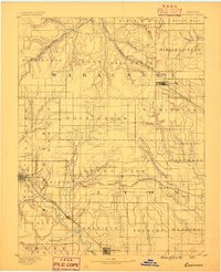
1889 · Eskridge
USGS Topo · 1:125,000
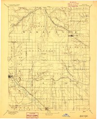
1894 · Eskridge
USGS Topo · 1:125,000
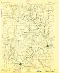
1894 · Junction City
USGS Topo · 1:125,000
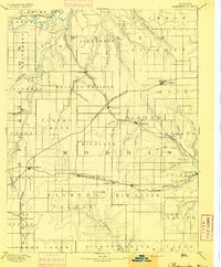
1894 · Parkerville
USGS Topo · 1:125,000
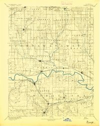
1894 · Wamego
USGS Topo · 1:125,000