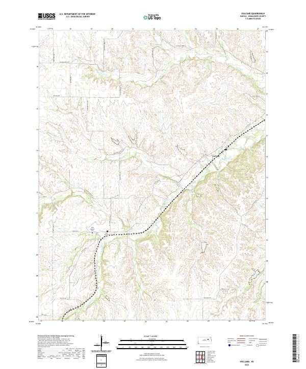
2022 Map of Volland
USGS Topo · Published 2022About this map
Volland remains the central point of this Kansas landscape, situated near the headwaters of W Br Mill Cr. The map reveals a deeply etched drainage network of the Flint Hills, where tributaries like Spring Cr and Poole Br carve through the limestone-underlaid prairie. Local history is anchored by three specific burial grounds: Fix Cem to the north and the paired West Templin Cem and East Templin Cem further south. The naming of thoroughfares such as Drovers Trail Rd and Old Stone Fort Rd points to the region's historical role as a transit corridor. The contemporary road network, including Volland Rd and Bluestem Rd, follows the winding paths dictated by the terrain, providing a clear record of how modern infrastructure continues to adapt to this distinct ranching environment.
Find a feature on this map
31 named features on this map. Tap any name to fly to it.
Don’t see what you’re looking for? This feature index may not catch every label — zoom into the map to look around manually.
Map Details
Editions of this 2022 Volland Map
This is the sole edition of this map. No revisions or reprints were ever made.
Other maps of this area

1885 · Eskridge
USGS Topo · 1:125,000

1886 · Junction City
USGS Topo · 1:125,000

1889 · Wamego
USGS Topo · 1:125,000

1889 · Junction City
USGS Topo · 1:125,000

1889 · Parkerville
USGS Topo · 1:125,000

1889 · Eskridge
USGS Topo · 1:125,000

1894 · Eskridge
USGS Topo · 1:125,000

1894 · Junction City
USGS Topo · 1:125,000

1894 · Parkerville
USGS Topo · 1:125,000

1894 · Wamego
USGS Topo · 1:125,000