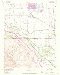
1960 Map of Volta
USGS Topo · Published 1972About this map
Water management and transit dominate the landscape of the San Joaquin Valley in this 1960s study. The Southern Pacific railroad line cuts diagonally through the small settlement of Volta, which sits adjacent to a sprawling network of irrigation infrastructure including the Delta Mendota Canal, Outside Canal, and Main Canal. These canals represent the massive mid-century engineering efforts of the State of California Department of Water Resources and the U. S. Bureau of Reclamation to transform the arid valley into productive farmland.
Find a feature on this map
27 named features on this map. Tap any name to fly to it.
Don’t see what you’re looking for? This feature index may not catch every label — zoom into the map to look around manually.
Map Details
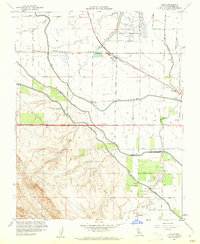
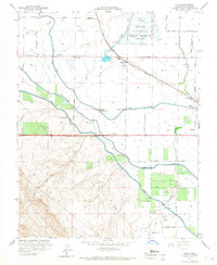
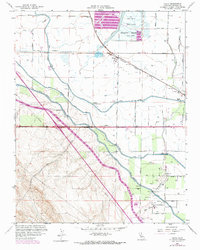
Editions of this 1960 Volta Map
4 editions found
Other maps of this area

1913 · Panoche
USGS Topo · 1:125,000

1919 · San Luis Ranch
USGS Topo · 1:31,680

1919 · Ingomar
USGS Topo · 1:31,680

1920 · Pacheco Pass
USGS Topo · 1:62,500

1920 · Carrisalito Spring
USGS Topo · 1:31,680

1921 · Volta
USGS Topo · 1:31,680

1921 · Los Banos
USGS Topo · 1:31,680

1922 · Charleston School
USGS Topo · 1:31,680

1922 · Quien Sabe
USGS Topo · 1:62,500

1922 · San Luis Creek
USGS Topo · 1:31,680