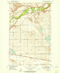
1948 Map of Voltaire
USGS Topo · Published 1955About this map
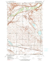
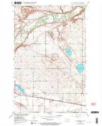
The Souris River meanders through the northern portion of this North Dakota landscape, carving a fertile valley through the surrounding plains. To the south, the village of Voltaire serves as a central hub along the Minneapolis St Paul and Sault Ste Marie railroad, a vital transportation artery for the region's agricultural economy. This 1948 topographic study reveals a community-centered settlement pattern typical of the mid-century Midwest, where rural life revolved around local institutions like Hjerdal Ch, Howe Sch, and Roach Sch. Genealogists may find value in the precise locations of the Walley Cem and Westgaard Cem. The map also details the area's natural hydrology, featuring numerous prairie potholes and larger bodies of water such as Stink Lake, Lake Hester, and Erickson Lake, which dot the township of Lebanon.
Find a feature on this map
22 named features on this map. Tap any name to fly to it.
Don’t see what you’re looking for? This feature index may not catch every label — zoom into the map to look around manually.
Map Details
Editions of this 1948 Voltaire Map
7 editions found
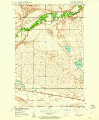
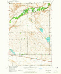
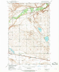
Other maps of this area

1929 · Kongsberg
USGS Topo · 1:62,500

1929 · Balfour
USGS Topo · 1:62,500

1948 · Voltaire
USGS Topo · 1:24,000

1948 · Velva
USGS Topo · 1:62,500

1949 · Norwich
USGS Topo · 1:24,000

1949 · Simcoe
USGS Topo · 1:24,000

1949 · Velva
USGS Topo · 1:24,000

1949 · Voltaire
USGS Topo · 1:24,000

1949 · Karlsruhe NW
USGS Topo · 1:24,000

1951 · Velva
USGS Topo · 1:62,500