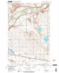
1948 Map of Voltaire
USGS Topo · Published 1991About this map
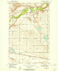
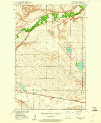
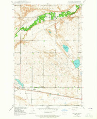
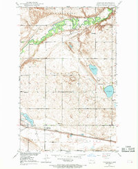
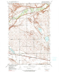
The Souris River meanders through the northern reaches of this landscape, its complex loops and oxbows defining the geography of McHenry County shortly after World War II. The settlement of Voltaire anchors the southern portion of the sheet, situated along the tracks of the Minneapolis St Paul and Sault Ste Marie railroad. This rail corridor was essential to the movement of grain and local resources, connecting the prairie to larger markets. Scattered across the surrounding townships are signs of early community life, including the Hjerdal Ch, Howe Sch, and Roach Sch, alongside the Westgaard Cem and Valley Cem. The landscape is punctuated by numerous bodies of water like Lake Hester and Stink Lake, reflecting the glacial history of the region and providing critical landmarks for rural residents and genealogists tracing family land in the Hendrickson and Lebanon districts.
Find a feature on this map
22 named features on this map. Tap any name to fly to it.
Don’t see what you’re looking for? This feature index may not catch every label — zoom into the map to look around manually.
Map Details
Editions of this 1948 Voltaire Map
7 editions found
Other maps of this area

1929 · Kongsberg
USGS Topo · 1:62,500

1929 · Balfour
USGS Topo · 1:62,500

1948 · Voltaire
USGS Topo · 1:24,000

1948 · Velva
USGS Topo · 1:62,500

1949 · Norwich
USGS Topo · 1:24,000

1949 · Simcoe
USGS Topo · 1:24,000

1949 · Velva
USGS Topo · 1:24,000

1949 · Voltaire
USGS Topo · 1:24,000

1949 · Karlsruhe NW
USGS Topo · 1:24,000

1951 · Velva
USGS Topo · 1:62,500