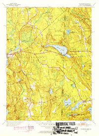
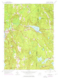
1953 Map of Voluntown
USGS Topo · Published 1954About this map
Pachaug State Forest dominates this borderland landscape in the early 1950s, creating a mosaic of protected woodlands and glacial ponds across the Connecticut and Rhode Island line. The village of Voluntown serves as a primary hub, situated near Beachdale Pond and Sawmill Pond, the latter hinting at the area's timber history. To the east, the Beach Pond Reservation spans the state boundary, framing the large Beach Pond which straddles the line between Voluntown and Exeter. In the Rhode Island portion, the settlement of Rockville is flanked by Wincheck Pond and Blue Pond, while the topography rises toward Escoheag Hill, where a lookout tower and several small cemeteries mark the higher ground. The map details an extensive network of backroads and trails, including the Narragansett Trail and Shetucket School Road, providing a clear view of the rural infrastructure before modern development patterns fully took hold.
Find a feature on this map
55 named features on this map. Tap any name to fly to it.
Don’t see what you’re looking for? This feature index may not catch every label — zoom into the map to look around manually.
Map Details
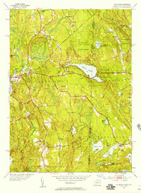
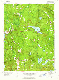
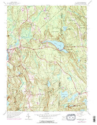
Editions of this 1953 Voluntown Map
5 editions found
Other maps of this area

1889 · Stonington
USGS Topo · 1:62,500

1889 · Charlestown
USGS Topo · 1:62,500

1889 · Moosup
USGS Topo · 1:62,500

1890 · Kent
USGS Topo · 1:62,500

1893 · Moosup
USGS Topo · 1:62,500

1893 · Stonington
USGS Topo · 1:62,500

1894 · Kent
USGS Topo · 1:62,500

1919 · Charlestown
USGS Topo · 1:62,500

1920 · Moosup
USGS Topo · 1:62,500

1921 · Charlestown
USGS Topo · 1:62,500