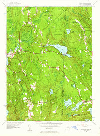
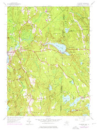
1953 Map of Voluntown
USGS Topo · Published 1962About this map
Pachaug State Forest dominates this mid-century landscape along the border between Connecticut and Rhode Island. The terrain is defined by a dense network of glacial ponds and wetlands, where the Pachaug River and Shetucket Brook drain through a series of managed waters including Beachdale Pond and Sawmill Pond. The map captures the quiet, rural character of Voluntown and the village of Rockville, areas historically tied to timber and water-powered industry.
Find a feature on this map
61 named features on this map. Tap any name to fly to it.
Don’t see what you’re looking for? This feature index may not catch every label — zoom into the map to look around manually.
Map Details
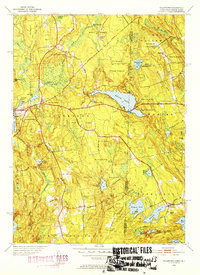
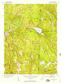
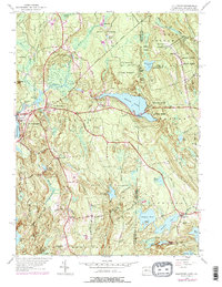
Editions of this 1953 Voluntown Map
5 editions found
Other maps of this area

1889 · Stonington
USGS Topo · 1:62,500

1889 · Charlestown
USGS Topo · 1:62,500

1889 · Moosup
USGS Topo · 1:62,500

1890 · Kent
USGS Topo · 1:62,500

1893 · Moosup
USGS Topo · 1:62,500

1893 · Stonington
USGS Topo · 1:62,500

1894 · Kent
USGS Topo · 1:62,500

1919 · Charlestown
USGS Topo · 1:62,500

1920 · Moosup
USGS Topo · 1:62,500

1921 · Charlestown
USGS Topo · 1:62,500