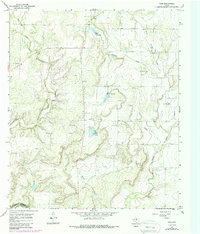
1967 Map of Voss
USGS Topo · Published 1987About this map
Voss serves as the primary settlement hub in this West Texas landscape, situated near the boundary of Coleman and Concho counties. The terrain is defined by an intricate drainage system where Elm Creek and Panther Creek cut through the limestone uplands, eventually feeding toward the Colorado River at the southern edge of the quadrangle. This 1967 survey, with revisions noted through the early 1980s, reveals a landscape shaped by both ranching and local industry. The map captures a high density of Gravel Pits concentrated along the creek valleys, suggesting significant aggregate extraction during this era. Genealogists will find the Hill Cem centrally located, while topographic enthusiasts can trace the sharp meander of the river at Horseshoe Bend. The network of unimproved roads and light-duty paths connecting these features illustrates the rural connectivity between isolated homesteads and local resource sites.
Find a feature on this map
12 named features on this map. Tap any name to fly to it.
Don’t see what you’re looking for? This feature index may not catch every label — zoom into the map to look around manually.
Map Details
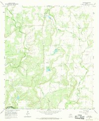
Editions of this 1967 Voss Map
2 editions found
Other maps of this area

1887 · Coleman
USGS Topo · 1:125,000

1889 · Coleman
USGS Topo · 1:125,000

1892 · Eden
USGS Topo · 1:125,000

1892 · Ballinger
USGS Topo · 1:125,000

1894 · Brady
USGS Topo · 1:125,000

1896 · Eden
USGS Topo · 1:125,000

1924 · Eden 1-a
USGS Topo · 1:48,000

1925 · Brady 2-b
USGS Topo · 1:48,000

1925 · Ballinger 4-c
USGS Topo · 1:48,000

1928 · Waldrip
USGS Topo · 1:62,500