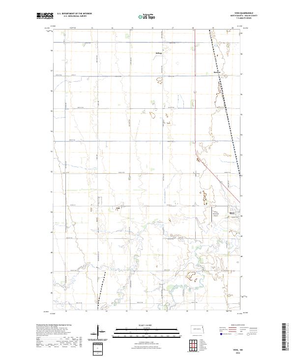
2024 Map of Voss
USGS Topo · Published 2024About this map
Voss and Minto anchor this section of Walsh County, where the sprawling grid of section lines and gravel roads defines the agricultural rhythm of the Red River Valley. The southern reaches of the map are bisected by the meandering Forest River, providing a natural break in the otherwise systematic township divisions. This landscape reflects the late twentieth and early twenty-first century development of North Dakota's farming communities, where small settlements like Kellogg and Herriott serve as historical markers of the region's rural distribution. Notable for its aviation link, the Minto Municipal Airport sits just west of the Minto town site, while a dense network of local routes, including Co Rd 15 and 150th Ave NE, facilitates the movement of goods through these fertile plains.
Find a feature on this map
34 named features on this map. Tap any name to fly to it.
Don’t see what you’re looking for? This feature index may not catch every label — zoom into the map to look around manually.
Map Details
Editions of this 2024 Voss Map
This is the sole edition of this map. No revisions or reprints were ever made.
Other maps of this area

1926 · Ardoch
USGS Topo · 1:62,500

1943 · Grafton
USGS Topo · 1:62,500

1952 · Thief River Falls
USGS Topo · 1:250,000

1956 · Thief River Falls
USGS Topo · 1:250,000

1957 · Thief River Falls
USGS Topo · 1:250,000

1960 · Grafton
USGS Topo · 1:24,000
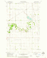
1960 · Oakwood
USGS Topo · 1:24,000

1963 · Inkster NE
USGS Topo · 1:24,000

1963 · Veseleyville
USGS Topo · 1:24,000

1963 · Nash
USGS Topo · 1:24,000