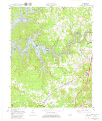
1979 Map of Vox
USGS Topo · Published 1979About this map
Daniel Boone National Forest dominates the landscape of this 1979 survey, where the winding waters of Laurel River Lake have reshaped the local geography. The map captures a moment of transition in Whitley and Laurel Counties, as the controlled inundation of the river created new recreational landmarks like the Flat Woods Boat Ramp and White Oak Campground. Away from the shoreline, the map reveals a deeply rooted community structure defined by small rural churches and family-named cemeteries, including Frankford Ch, Steele Chapel, and the McFarland Cem.
Find a feature on this map
58 named features on this map. Tap any name to fly to it.
Don’t see what you’re looking for? This feature index may not catch every label — zoom into the map to look around manually.
Map Details
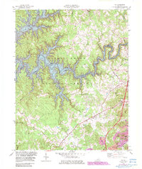
Editions of this 1979 Vox Map
2 editions found
Other maps of this area

1890 · Williamsburg
USGS Topo · 1:125,000

1893 · London
USGS Topo · 1:125,000

1894 · Williamsburg
USGS Topo · 1:125,000

1897 · London
USGS Topo · 1:125,000

1952 · Corbin
USGS Topo · 1:24,000

1952 · Wofford
USGS Topo · 1:24,000

1952 · Lily
USGS Topo · 1:24,000

1952 · London SW
USGS Topo · 1:24,000

1952 · Vox
USGS Topo · 1:24,000

1952 · Ano
USGS Topo · 1:24,000