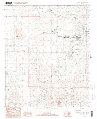
1990 Map of Vulture Peak
USGS Topo · Published 1990About this map
Wickenburg and the surrounding desert landscape are defined by a long history of mineral extraction and transit. The rugged foothills of the Vulture Mountains are peppered with evidence of prospecting, from the Lucky Day Mine and Renegade Mine to numerous unnamed Prospects. Local infrastructure in the late 20th century highlights the region's development, including the Municipal Airport and the At&SF rail line passing through Matthie. Historical memory is anchored by the Wickenburg Massacre Historical Monument, while the physical environment is shaped by ephemeral drainages like Sols Wash, Hartman Wash, and Jimmie Wash. These seasonal waterways are managed in part by the Hartman Levee, protecting the growing community around Vulture Peak Sch. The map reveals a transition from traditional mining activities to modern aviation and regional transport hubs.
Find a feature on this map
37 named features on this map. Tap any name to fly to it.
Don’t see what you’re looking for? This feature index may not catch every label — zoom into the map to look around manually.
Map Details
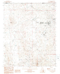
Editions of this 1990 Vulture Peak Map
2 editions found
Other maps of this area

1887 · Prescott
USGS Topo · 1:250,000

1892 · Prescott
USGS Topo · 1:250,000

1903 · Congress
USGS Topo · 1:125,000

1904 · Congress
USGS Topo · 1:125,000

1947 · Wagoner
USGS Topo · 1:62,500

1948 · Wagoner
USGS Topo · 1:63,360

1950 · Wagoner
USGS Topo · 1:62,500

1950 · Prescott
USGS Topo · 1:250,000

1954 · Prescott
USGS Topo · 1:250,000

1954 · Phoenix
USGS Topo · 1:250,000