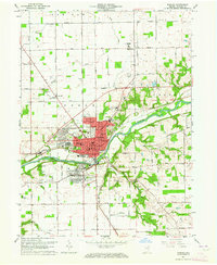
1963 Map of Wabash
USGS Topo · Published 1964About this map
The Wabash River serves as the central artery for this mid-century look at the county seat and its surrounding townships. The city of Wabash is shown in considerable detail, from the downtown Courthouse and Po to the growing neighborhoods of Sunnymede and South Haven. The transportation network is defined by the New York Central railroad and a grid of rural routes like Farr Pike and Barnhart Road, illustrating the transition from a river-and-rail center to an automobile-oriented regional hub. Local landmarks like the Wabash Municipal Airport and the Drive-in Theater reflect the post-war expansion of infrastructure. Genealogists will find a wealth of data in the numerous rural cemeteries and churches, including Falls Cem, Friends Cem, and Bachelor Creek Ch, while landmarks like the County Home and Shanty Falls provide unique geographic anchors for family history.
Find a feature on this map
78 named features on this map. Tap any name to fly to it.
Don’t see what you’re looking for? This feature index may not catch every label — zoom into the map to look around manually.
Map Details
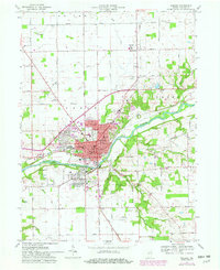
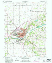
Editions of this 1963 Wabash Map
Other maps of this area

1950 · Lagro
USGS Topo · 1:24,000

1951 · Lagro
USGS Topo · 1:24,000

1951 · Richvalley
USGS Topo · 1:24,000

1952 · Wabash
USGS Topo · 1:24,000

1953 · La Fontaine
USGS Topo · 1:24,000

1953 · Somerset
USGS Topo · 1:24,000

1953 · Peoria
USGS Topo · 1:24,000

1953 · Muncie
USGS Topo · 1:250,000

1956 · Muncie
USGS Topo · 1:250,000

1961 · Roann
USGS Topo · 1:24,000