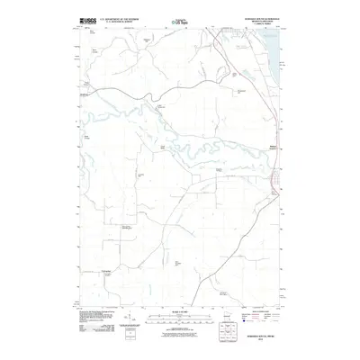
2010 Map of Wabasha South
USGS Topo · Published 2010About this map
The winding Zumbro River dominates this landscape south of Wabasha, carving a path through the coulees and valleys of the Driftless Area. This 2010 survey details a region defined by its water and terrain, where Trout Brook and Gorman Creek feed into the river's complex oxbows. Small settlements and crossroads like Dumfries, Conception, and Midland Junction are scattered throughout the agricultural uplands, while landmarks like Wabasha Hill and Greenfield Hill rise above the drainage basins.
Find a feature on this map
47 named features on this map. Tap any name to fly to it.
Don’t see what you’re looking for? This feature index may not catch every label — zoom into the map to look around manually.
Map Details
Editions of this 2010 Wabasha South Map
This is the sole edition of this map. No revisions or reprints were ever made.
Other maps of this area

1932 · Cochrane
USGS Topo · 1:62,500

1932 · Wabasha
USGS Topo · 1:62,500

1932 · Alma
USGS Topo · 1:62,500

1934 · Plainview
USGS Topo · 1:62,500

1934 · Cochrane
USGS Topo · 1:62,500

1937 · Cochrane
USGS Topo · 1:62,500

1938 · Plainview
USGS Topo · 1:62,500

1950 · Alma
USGS Topo · 1:62,500

1951 · Wabasha
USGS Topo · 1:62,500

1953 · Saint Paul
USGS Topo · 1:250,000