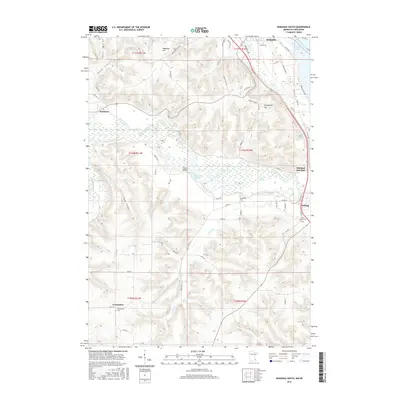
2016 Map of Wabasha South
USGS Topo · Published 2016About this map
Wabasha and Kellogg anchor this corner of southeast Minnesota, where the high bluffs of the Driftless Area meet the sprawling wetlands of the Mississippi River valley. The map reveals a complex aquatic landscape dominated by the lower reaches of the Zumbro River as it fragments into a network of backwaters including Albertson Slough, Fry Slough, and Pine Slough. These alluvial bottoms contrast sharply with the steep coulees to the west, such as Ryan Coulee and Hope Coulee, which cut through the high agricultural plateaus.
Find a feature on this map
69 named features on this map. Tap any name to fly to it.
Don’t see what you’re looking for? This feature index may not catch every label — zoom into the map to look around manually.
Map Details
Editions of this 2016 Wabasha South Map
This is the sole edition of this map. No revisions or reprints were ever made.
Other maps of this area

1932 · Cochrane
USGS Topo · 1:62,500

1932 · Wabasha
USGS Topo · 1:62,500

1932 · Alma
USGS Topo · 1:62,500

1934 · Plainview
USGS Topo · 1:62,500

1934 · Cochrane
USGS Topo · 1:62,500

1937 · Cochrane
USGS Topo · 1:62,500

1938 · Plainview
USGS Topo · 1:62,500

1950 · Alma
USGS Topo · 1:62,500

1951 · Wabasha
USGS Topo · 1:62,500

1953 · Saint Paul
USGS Topo · 1:250,000