2022 Map of Wabasha South
USGS Topo · Published 2022About this map
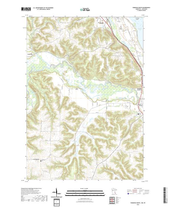
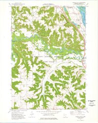
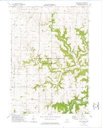
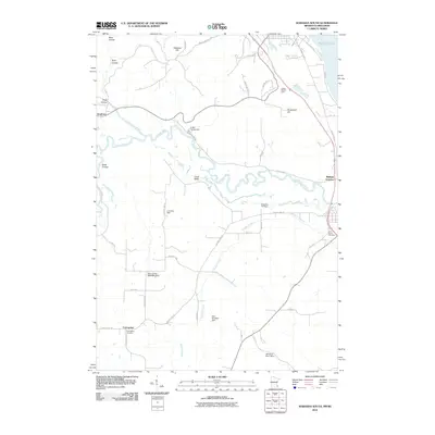
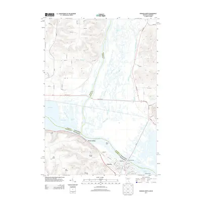
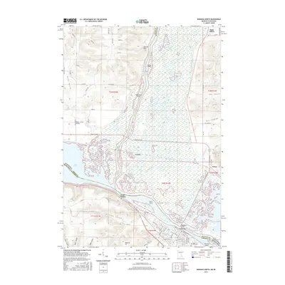
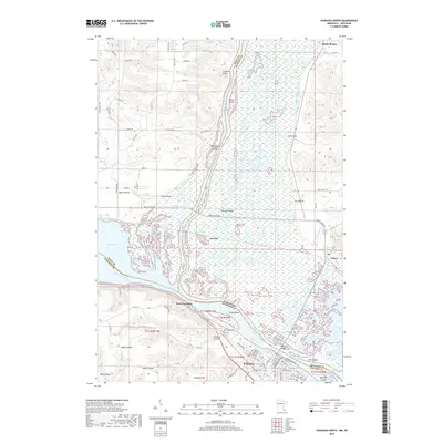
The Wabasha County Courthouse anchors the northern landscape of this river-country survey, where the bluffs and coulees of the Mississippi River valley meet the winding course of the Zumbro River. This area is defined by its complex hydrology, featuring numerous backwaters and wetlands such as Albertson Slough and Fry Slough. The terrain transitions from the high elevations of Greenfield Hill down into the agricultural flats surrounding Kellogg and Midland Junction. Historical markers of the region's rural development are well-preserved in the placement of the Saint Agnes Cem and the Conception Cem. The map illustrates the path of the Zumbro River Trl and the small hamlets like Dumfries and Conception, which developed around local water sources like Costello Spring and Canfield Spring. These features reveal a landscape carefully utilized for its proximity to both reliable water and established transport corridors.
Find a feature on this map
86 named features on this map. Tap any name to fly to it.
Don’t see what you’re looking for? This feature index may not catch every label — zoom into the map to look around manually.
Map Details
Editions of this 2022 Wabasha South Map
This is the sole edition of this map. No revisions or reprints were ever made.
Historical Maps of Wabasha Through Time
30 maps found
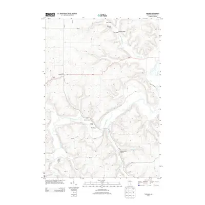
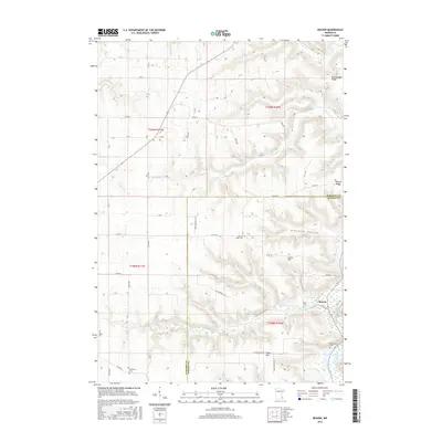
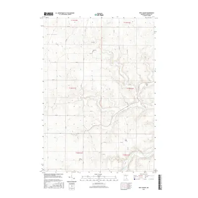
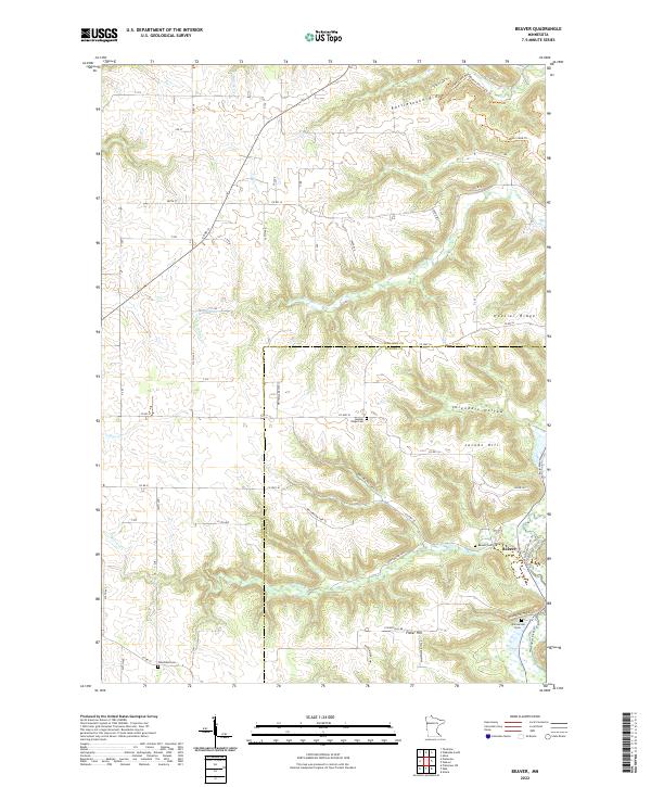
1972 Beaver
Wabasha County, MN
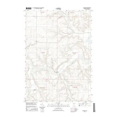
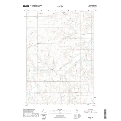
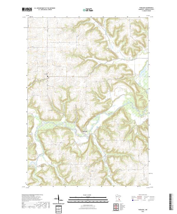
1974 Theilman
Wabasha County, MN
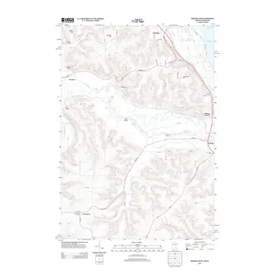
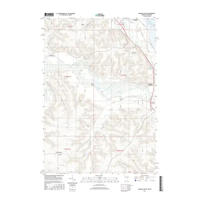
1974 Wabasha North
Wabasha County, MN
1974 Wabasha South
Wabasha County, MN
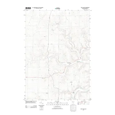
1974 West Albany
Wabasha County, MN
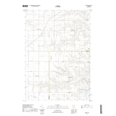
2010 Beaver
Wabasha County, MN
2010 Wabasha North
Wabasha County, MN
2010 Wabasha South
Wabasha County, MN
2010 West Albany
Wabasha County, MN
2011 Theilman
Wabasha County, MN
2013 Beaver
Wabasha County, MN
2013 Theilman
Wabasha County, MN
2013 Wabasha North
Wabasha County, MN
2013 Wabasha South
Wabasha County, MN
2013 West Albany
Wabasha County, MN
2016 Beaver
Wabasha County, MN
2016 Theilman
Wabasha County, MN
2016 Wabasha North
Wabasha County, MN
2016 Wabasha South
Wabasha County, MN
2016 West Albany
Wabasha County, MN
2019 Beaver
Wabasha County, MN
2019 Theilman
Wabasha County, MN
2019 Wabasha North
Wabasha County, MN
2019 Wabasha South
Wabasha County, MN
2019 West Albany
Wabasha County, MN
2022 Beaver
Wabasha County, MN
2022 Theilman
Wabasha County, MN
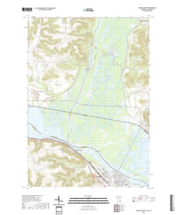
2022 Wabasha North
Wabasha County, MN
2022 Wabasha South
Wabasha County, MN
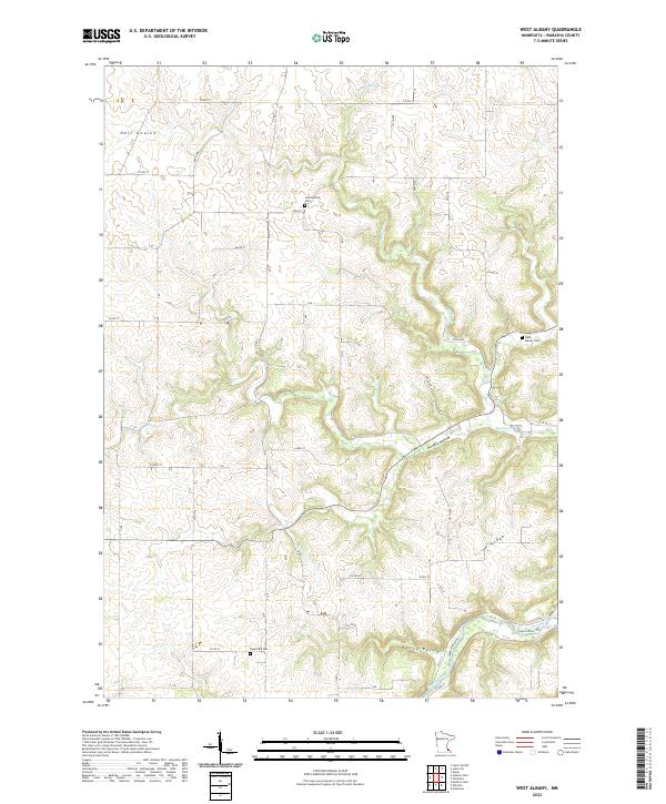
2022 West Albany
Wabasha County, MN